Admiralty Small Craft Charts 5611: Full Folio - West Coast of Scotland
| Format: | Printed on demand on 535 x 715 mm chart paper |
|---|---|
| Size: | 420 × 594 mm |
Admiralty Small Craft Charts 5611: Full Folio - West Coast of Scotland is backordered and will ship as soon as it is back in stock.
Delivery Information
Delivery Information
Friendly Advice
Friendly Advice
Returns
Returns

Admiralty Small Craft Charts 5611: Full Folio - West Coast of Scotland

Admiralty Small Craft Charts 5611: Full Folio - West Coast of Scotland is backordered and will ship as soon as it is back in stock.
West Coast of Scotland Chart Folio
All 28 charts from the Mull of Kintyre to Ardnamurchan, including Oban, Tobermory, the Sound of Mull, Crinan and Loch Linnhe. 75% discount applied.
All 28 Admiralty Small Craft Charts covering the West Coast of Scotland from the Mull of Kintyre to Ardnamurchan, including Oban, Tobermory, the Sound of Mull, the Firth of Lorn, Crinan, Loch Linnhe, Loch Sunart, the Sound of Jura and the islands of Islay, Colonsay, Tiree and Coll.
This bundle of charts has been discounted by 75%, the highest rate in the Admiralty Small Craft Chart discount tiers. If you add more Admiralty Small Craft Charts to your order, the same 75% discount applies. The system counts every chart in your order, folio sets and individual charts together, and applies the discount automatically at checkout.
Charts Included
| Chart | Title | Scale | Edition |
|---|---|---|---|
| 5611_1 |
Mull of Kintyre to Point of Ardnamurchan A: West Coast of Scotland, Mull of Kintyre to Point of Ardnamurchan (1:500,000) B: Western Approaches to Mull of Kintyre (1:75,000) |
1 : 500,000 | 18 Jul 2024 |
| 5611_2 | Sound of Gigha | 1 : 25,000 | 11 Nov 2021 |
| 5611_3 | Southern Approaches to the Sound of Jura | 1 : 75,000 | 18 Jul 2024 |
| 5611_4 | Sound of Islay to Colonsay | 1 : 75,000 | 11 Nov 2021 |
| 5611_5 | Islay (Southern Part) | 1 : 75,000 | 11 Nov 2021 |
| 5611_6 | Sound of Jura | 1 : 75,000 | 11 Nov 2021 |
| 5611_7 | Islay (Northern Part) | 1 : 75,000 | 11 Nov 2021 |
| 5611_8 | Colonsay to Ross of Mull | 1 : 75,000 | 11 Nov 2021 |
| 5611_9 |
Firth of Lorn A: Firth of Lorn (1:75,000) B: Loch Spelve Entrance (1:25,000) |
Plans | 11 Nov 2021 |
| 5611_10 | Sound of Iona | 1 : 25,000 | 11 Nov 2021 |
| 5611_11 | Ross of Mull to Ulva | 1 : 75,000 | 11 Nov 2021 |
| 5611_12 | Crinan to Luing and Loch Craignish | 1 : 25,000 | 29 Feb 2024 |
| 5611_13 | Tiree to Point of Ardnamurchan | 1 : 75,000 | 11 Nov 2021 |
| 5611_14 | Sound of Luing | 1 : 25,000 | 14 Dec 2023 |
| 5611_15 |
Sound of Mull A: Sound of Mull (1:75,000) B: Tobermory Harbour (1:10,000) C: Entrance to Loch Aline (1:10,000) D: Loch Aline (1:25,000) |
Plans | 11 Nov 2021 |
| 5611_16 | Approaches to Loch Melfort | 1 : 25,000 | 29 Feb 2024 |
| 5611_17 | Approaches to Oban | 1 : 25,000 | 11 Nov 2021 |
| 5611_18 | Loch Linnhe (Southern Part) | 1 : 25,000 | 11 Nov 2021 |
| 5611_19 |
Approaches to Loch Etive A: Approaches to Loch Etive (1:25,000) B: Continuation of Loch Etive (1:25,000) |
1 : 25,000 | 11 Nov 2021 |
| 5611_20 | Loch Linnhe (Central Part) | 1 : 25,000 | 11 Nov 2021 |
| 5611_21 |
Island of Mull - Loch Na Keal A: Island of Mull, Loch na Keal (1:25,000) B: Continuation of Loch na Keal (1:25,000) C: Staffa (1:25,000) |
1 : 25,000 | 11 Nov 2021 |
| 5611_22 |
Loch Linnhe - Approaches to Corran Narrows A: Loch Linnhe, Approaches to Corran Narrows (1:25,000) B: Loch Leven (1:25,000) |
1 : 25,000 | 11 Nov 2021 |
| 5611_23 |
Upper Loch Linnhe A: Upper Loch Linnhe (1:25,000) B: Continuation of Loch Eil (1:25,000) |
1 : 25,000 | 11 Nov 2021 |
| 5611_24 |
Loch Sunart (Western Part) A: Loch Sunart, Western Part (1:25,000) B: Continuation of Loch Teacuis (1:25,000) |
1 : 25,000 | 11 Nov 2021 |
| 5611_25 |
Loch Sunart (Eastern Part) A: Loch Sunart, Eastern Part (1:25,000) B: Continuation of Loch Sunart (1:25,000) |
1 : 25,000 | 11 Nov 2021 |
| 5611_26 |
Gunna Sound A: Gunna Sound (1:25,000) B: Loch Creran (1:25,000) |
1 : 25,000 | 11 Nov 2021 |
| 5611_27 |
Seil Sound and Sound of Insh A: Seil Sound and Sound of Insh (1:25,000) B: Islay, Port Ellen (1:15,000) C: Jura, Loch Tarbert (1:25,000) |
Plans | 11 Nov 2021 |
| 5611_28 |
Oban A: Oban (1:10,000) B: West Loch Tarbert (1:25,000) C: West Loch Tarbert (1:25,000) D: West Loch Tarbert (1:25,000) E: The Small Isles (1:25,000) |
Plans | 11 Nov 2021 |
What You Get
- Every chart for the area, from passage planning to harbour plans, all printed on demand with corrections applied up to the date of printing
- Tidal and safety data included on each chart, plus a PDF supplement we'll send you when your charts ship
- Shipped rolled in a sturdy cardboard tube
- Recognised by the MCA for coded vessels and fishing vessels under 24m LOA
About Admiralty Small Craft Charts
Admiralty Small Craft Charts are produced by the United Kingdom Hydrographic Office (UKHO) for recreational sailors and small commercial vessels. They cover popular cruising areas, harbours and coastal waters at scales suited to inshore navigation. Each chart is printed on demand from the UKHO's latest digital files with all corrections applied up to the date of printing.
Each folio has an accompanying PDF supplement containing tidal stream (diamond) tables, secondary port differences, tidal curves, Coastguard contact information and local navigation notes. We'll send you a link when your charts ship.
Good to Know
If you haven't bought Admiralty Small Craft Charts since 2022, a few things have changed. Charts no longer come in plastic wallets and supporting data is now a PDF rather than a printed booklet. The printed chart area is A2 (594 x 420 mm) but the paper is slightly larger (715 x 535 mm), leaving a border of about 12 cm on each side. You may want to trim the sheets depending on how you store your charts.
These charts are printed to order, so they can't be restocked or resold once printed. If you're not sure this is the right folio for your trip, just ask and we'll help you put together the right set.
Shipping
Admiralty charts are printed on demand by an official UKHO distributor. Each chart is printed, trimmed, quality checked, stamped and labelled individually. Please check for handling time messages during ordering. If you're in a hurry, get in touch with us and we'll do our best to help.
Charts ship rolled in a cardboard tube (Royal Mail) or a long rectangular box (DPD). The DPD box carries a slightly higher risk of minor creasing, which usually flattens out under some heavy books.
Need a full chart package for a trip? We'll sort it. Just let us know.
-
Height (mm)
-
Width (mm)
-
Format
-
TypePassage, Approach, Harbour
-
Scales1 : 500,000, 1 : 75,000, 1 : 25,000, 1 : 15,000, 1 : 10,000
-
RegionScotland > West Coast
-
HarboursTobermory, Loch Aline, Loch Leven, Loch Creran, Port Ellen, Jura, Loch Tarbert, Oban, West Loch Tarbert
-
Sea AreaSea of the Hebrides, Firth of Lorn, Sound of Jura
-
CountryUnited Kingdom, Scotland
-
AreaUK and Ireland
Payment & Security
Payment methods
Your payment information is processed securely. We do not store credit card details nor have access to your credit card information.
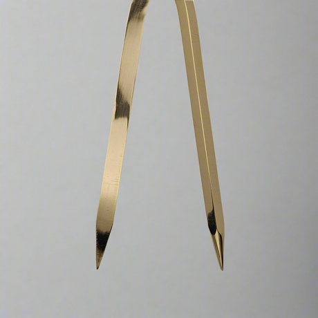
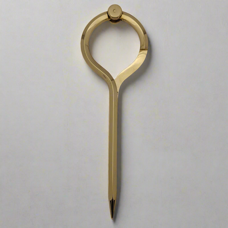
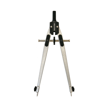
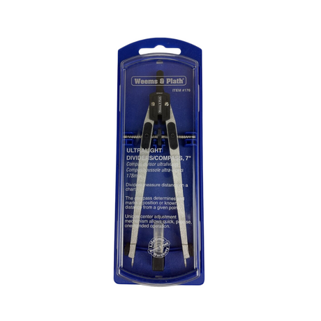
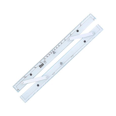
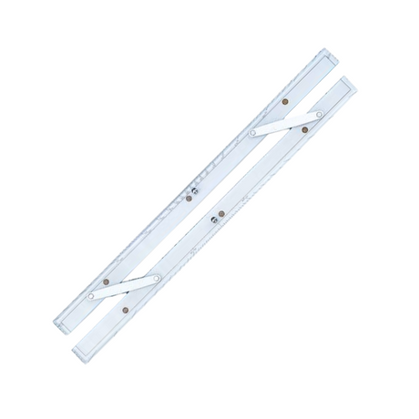
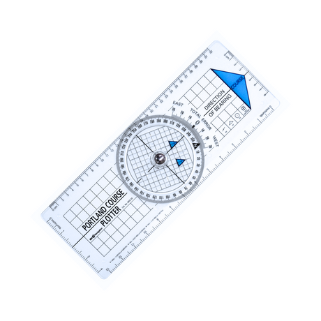
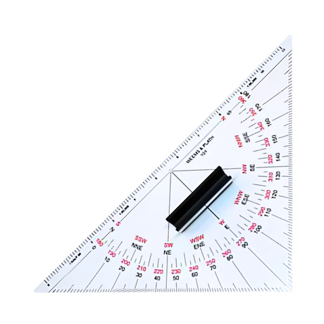
Chartwork Instruments
View all-
-
-
-
-
-
5% off
-
-
-
-
-
-
-
5% off
-
-
5% off
-
-
5% off
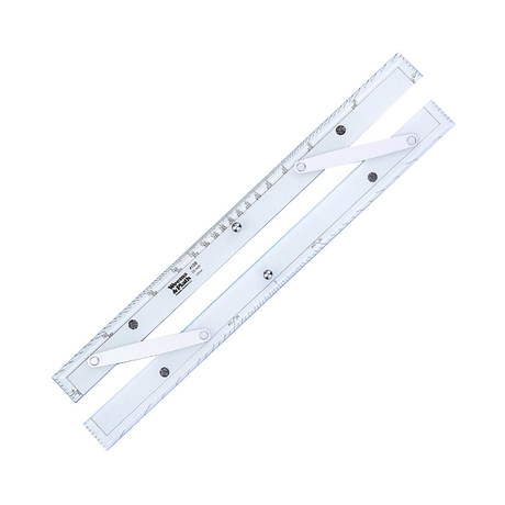
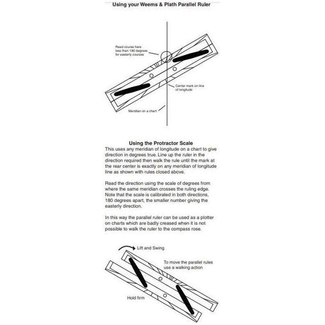
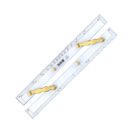
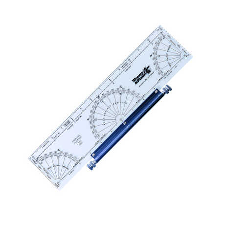
Weems & Plath Deluxe 15" Parallel Rule with Brass Arms
In stockSale price £3419 Regular price £3595Unit price -
-
5% off
-
-
5% off
-
-
-
-
-
-
-
-
-
-
5% off
-
-

-
-
-

-
-
-
-