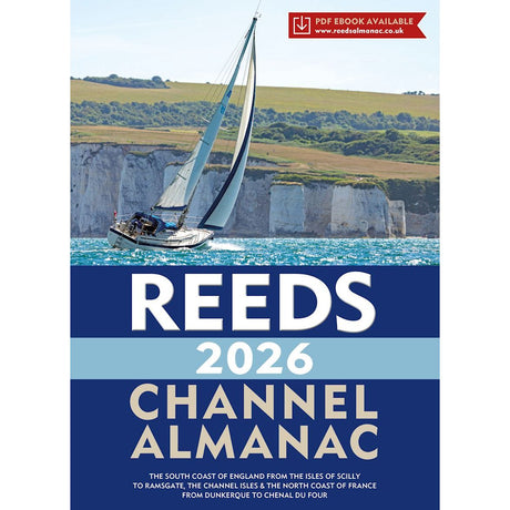
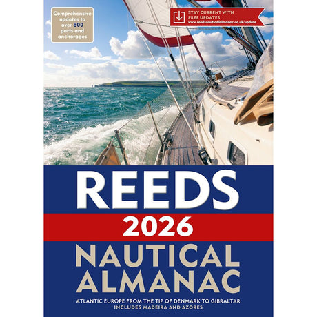
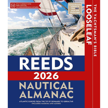
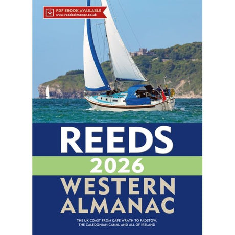
Timing is everything in tidal waters, which is why a current tide table belongs in every chart table. These essential references offer predictions for primary ports and tidal differences for secondary locations, allowing sailors to calculate the depth of water at critical times during their passage.
Tables covering home waters provide familiar coastal predictions, while international editions offer essential data for voyages further afield. Updated annually or biennially with the latest astronomical calculations, tide tables remain one of the fundamental tools for safe navigation in coastal waters where tidal range impacts passage planning and harbour approaches.
Those venturing further afield rely on Admiralty Tide Tables (NP201-204), covering Europe, the Mediterranean, South China Sea and beyond. Wall tide planners and tidal calculators round out our collection, transforming calculations into visual references for safety-conscious navigators.


