Nautical New Releases - May 2025
May's nautical books are here! Featuring Attenborough's Ocean, West Country cruising, paddling guides, naval history, and kids' reads. Plus, good news about Imray charts. Explore the latest releases now.
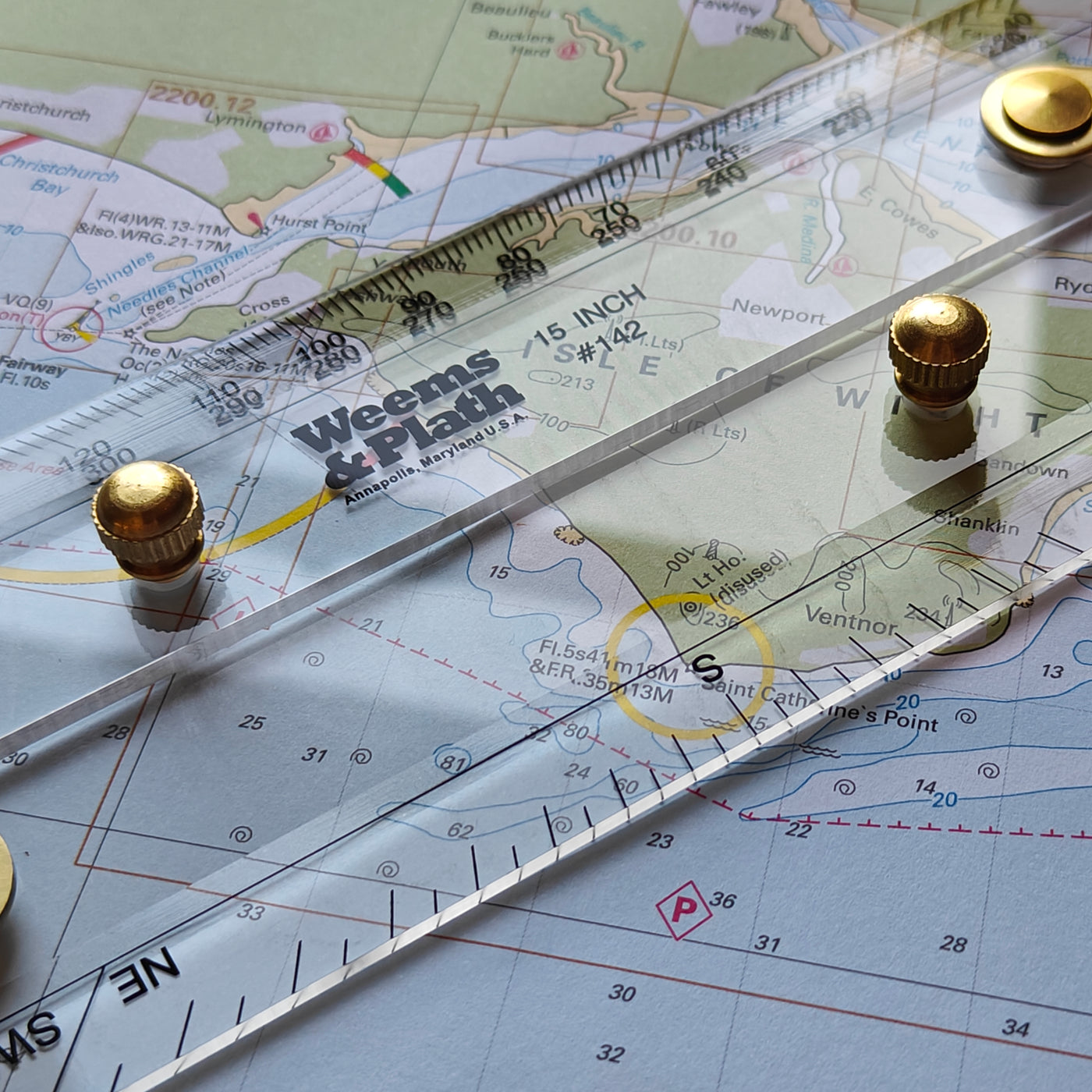

Imray Chart Packs offer convenient A2-sized charts with wide area coverage in a durable wallet. Choose loose-leaf or spiral-bound formats. Includes latest UKHO data, Imray insights, and free digital downloads!
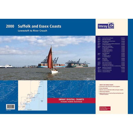
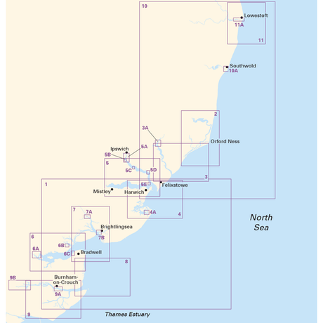
Imray Chart Pack 2000: Suffolk and Essex Coasts


Imray Chart Pack 2000: Suffolk and Essex Coasts (Spiral Bound)
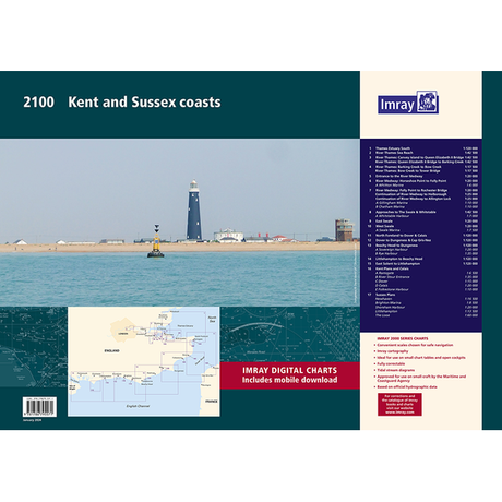
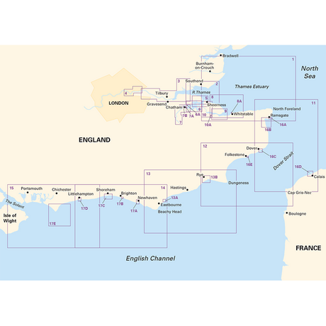


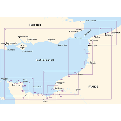
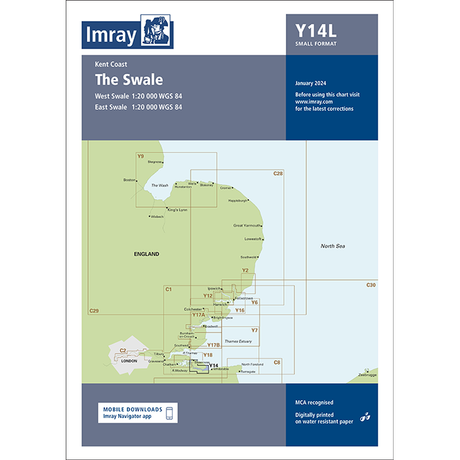
Imray Chart Pack 2100: Kent and Sussex Coasts (Spiral Bound)
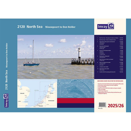
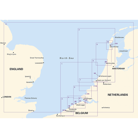
Imray Chart Pack 2120: North Sea - Nieuwpoort to Den Helder (Spiral Bound)
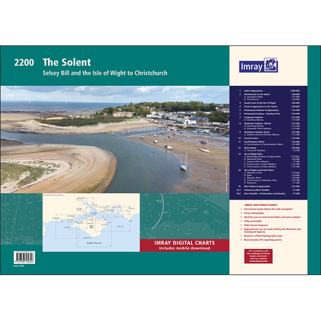
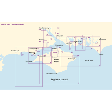


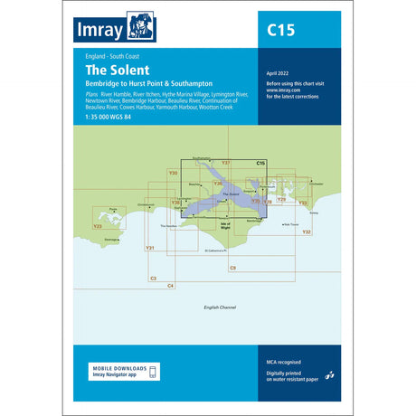
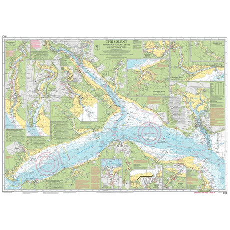
Imray Chart Pack 2200: The Solent (Spiral Bound)
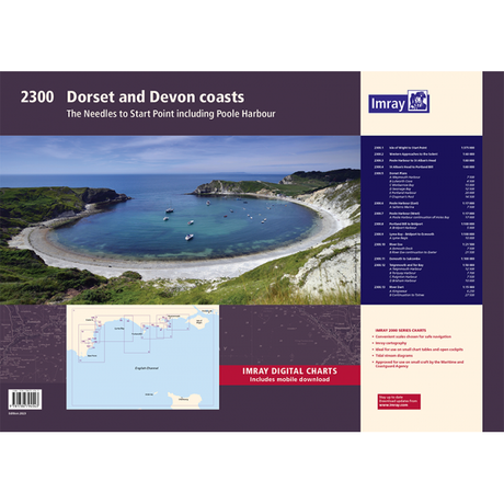
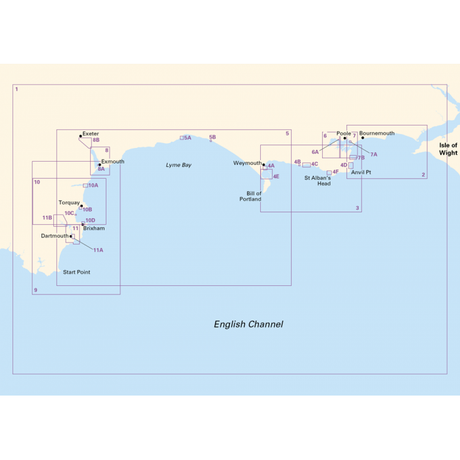
Imray Chart Pack 2300: Devon and Dorset Coasts


Imray Chart Pack 2300: Devon and Dorset Coasts (Spiral Bound)
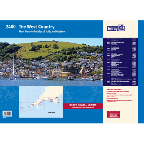
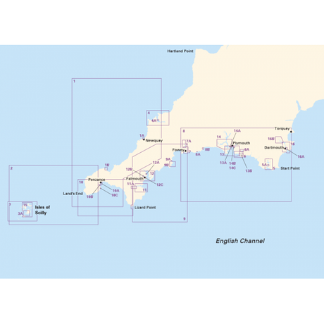


Imray Chart Pack 2400: The West Country (Spiral Bound)
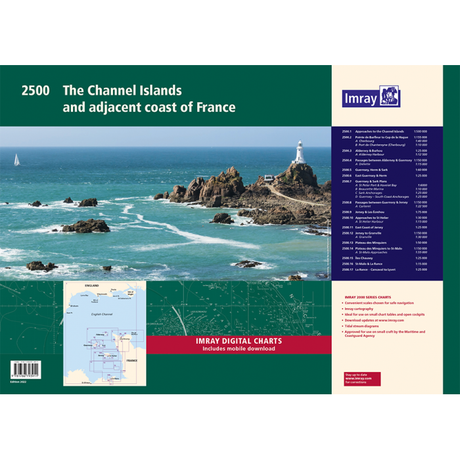
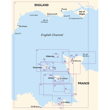


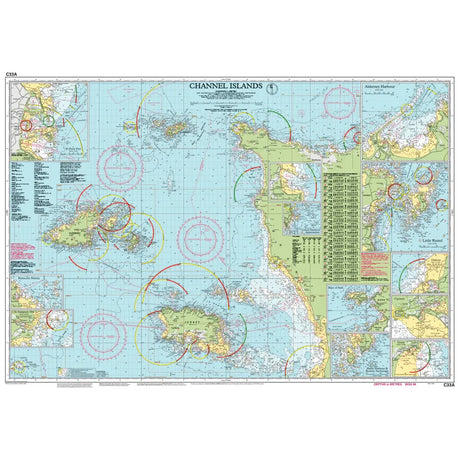
Imray Chart Pack 2500: The Channel Islands (Spiral Bound)
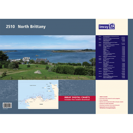
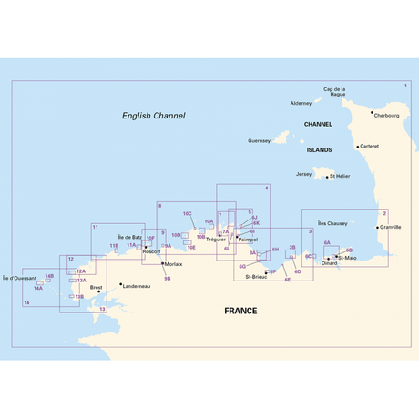


Imray Chart Pack 2510: North Brittany (Spiral Bound)
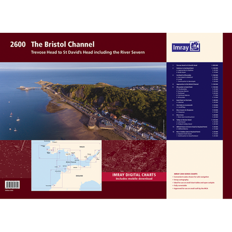
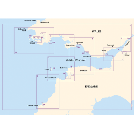


Imray Chart Pack 2600: The Bristol Channel (Spiral Bound)
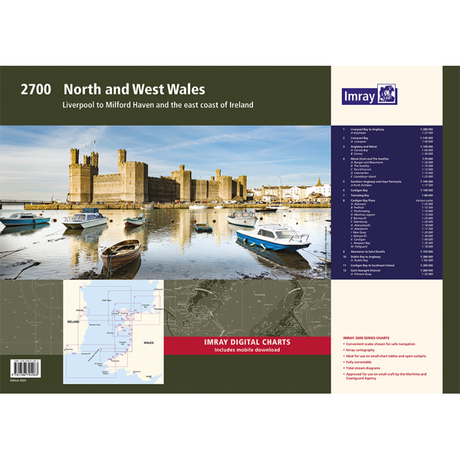
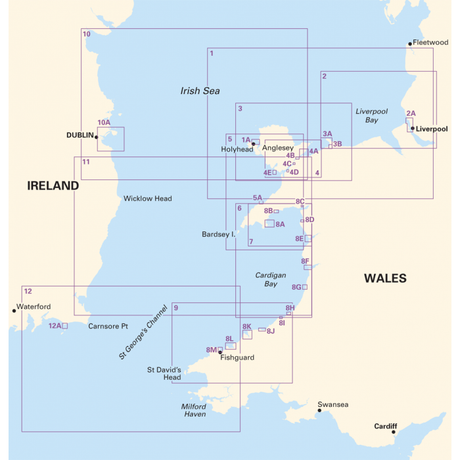


Imray Chart Pack 2700: North and West Wales (Spiral Bound)
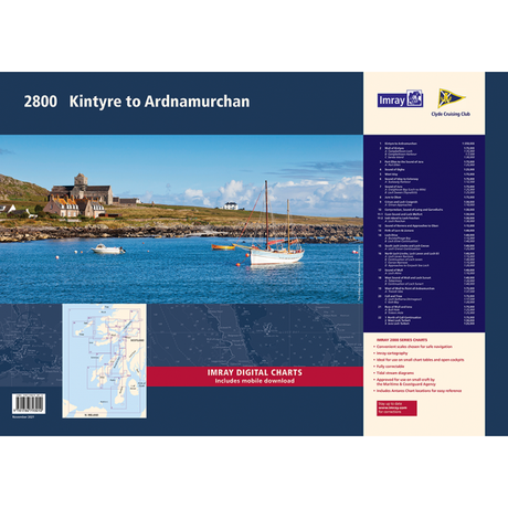
Imray Chart Pack 2800: Kintyre to Ardnamurchan


Imray Chart Pack 2800: Kintyre to Ardnamurchan (Spiral Bound)
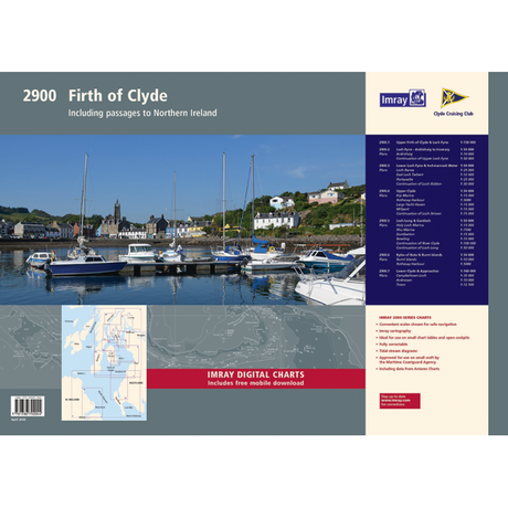
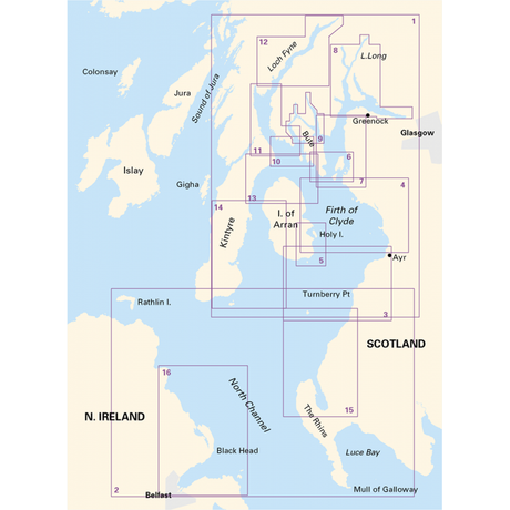
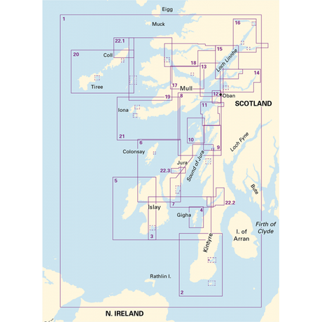
Imray Chart Pack 2900: Firth of Clyde including passages to Northern Ireland


Imray Chart Pack 2900: Firth of Clyde including passages to Northern Ireland (Spiral Bound)

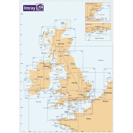
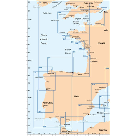
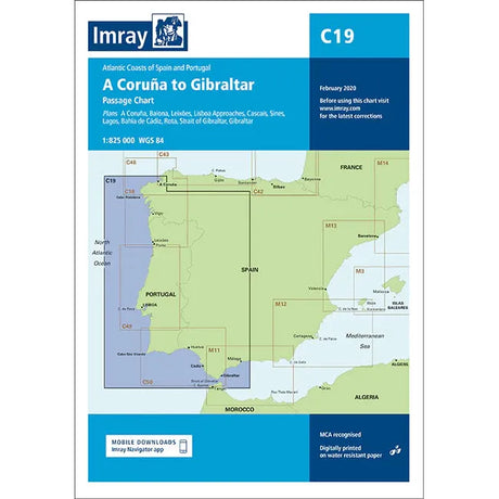
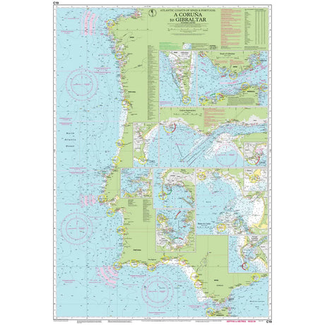
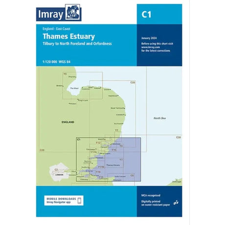
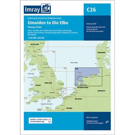
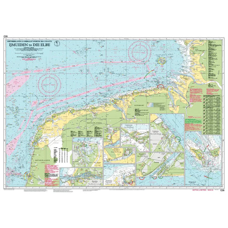
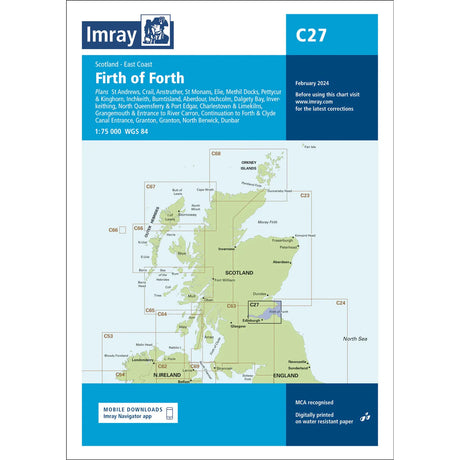
Single charts offering comprehensive coverage of North West Europe
787 x 1118 mm folded to A4
Comes with a durable plastic wallet
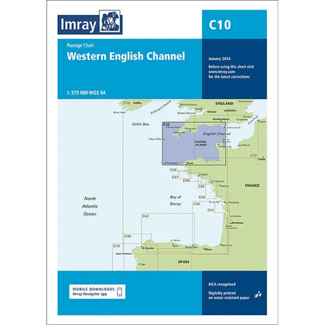
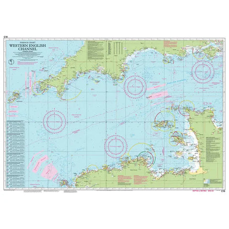
Imray Chart C10: Western English Channel Passage Chart
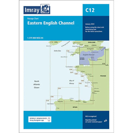
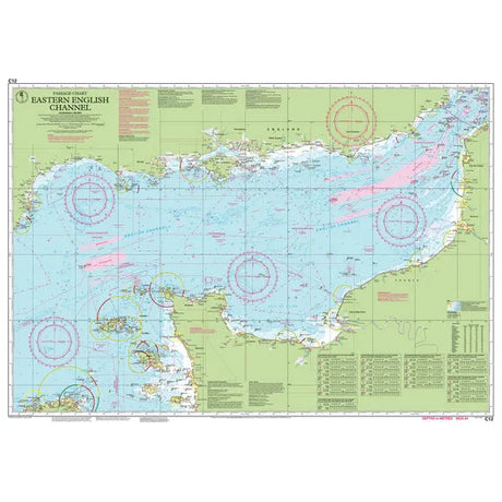
Imray Chart C12: Eastern English Channel Passage Chart
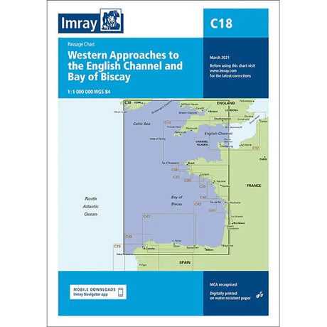
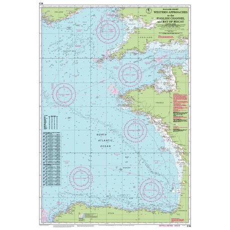
Imray Chart C18: Western Approaches to the English Channel & Bay of Biscay
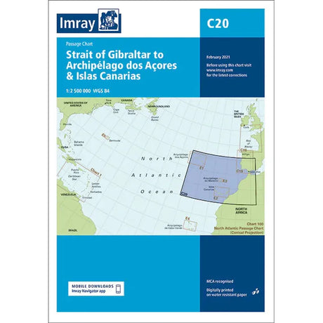
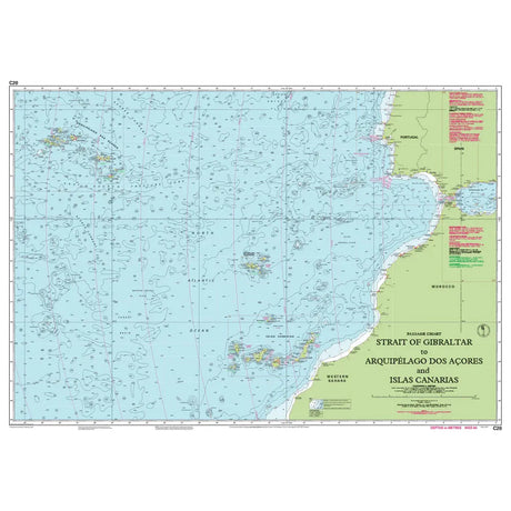
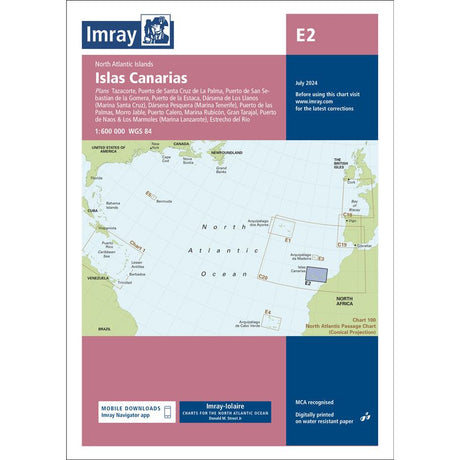
Imray Chart C20: Strait of Gibraltar to Archipélago dos Açores & Islas Canarias Passage Chart
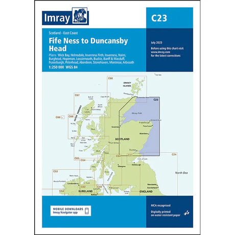
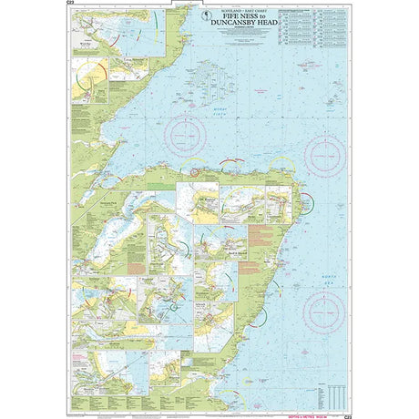
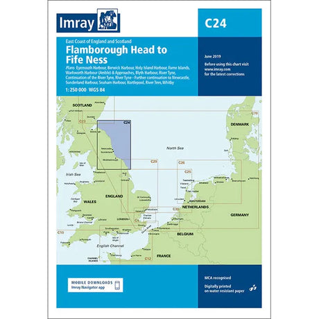
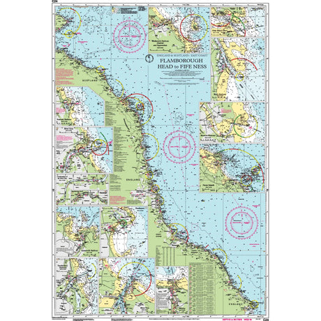
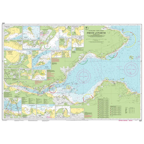
Imray Chart C24: Flamborough Head to Fife Ness
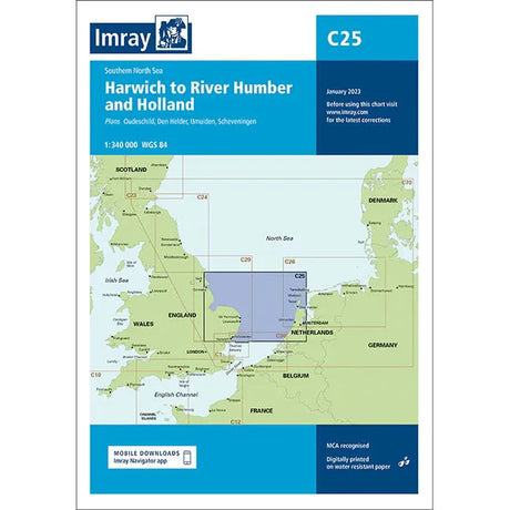
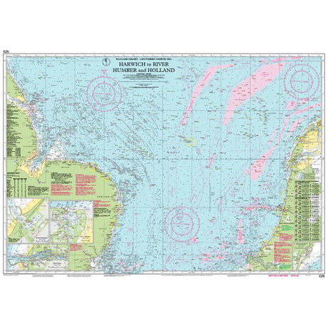
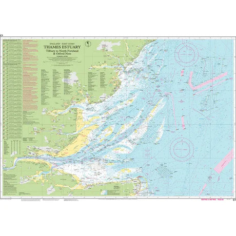
Imray Chart C25: Harwich to River Humber and Holland
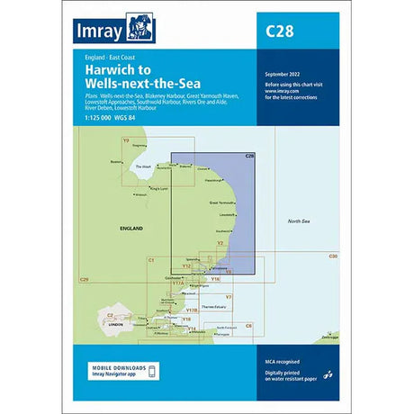
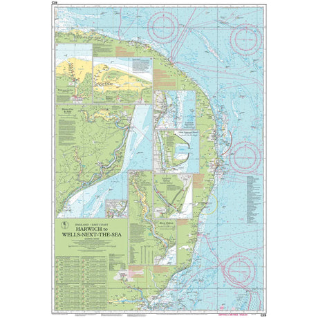
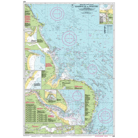
Imray Chart C28: Harwich to Wells-next-the-Sea
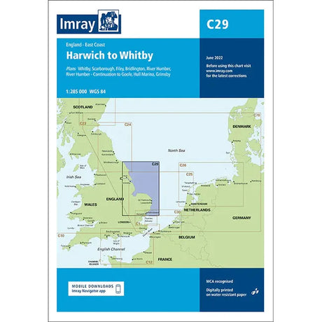
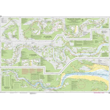
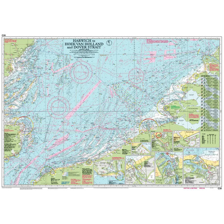
Imray Chart C30: Harwich to Hoek van Holland and Dover Strait

Imray Chart C30: Harwich to Hoek van Holland and Dover Strait


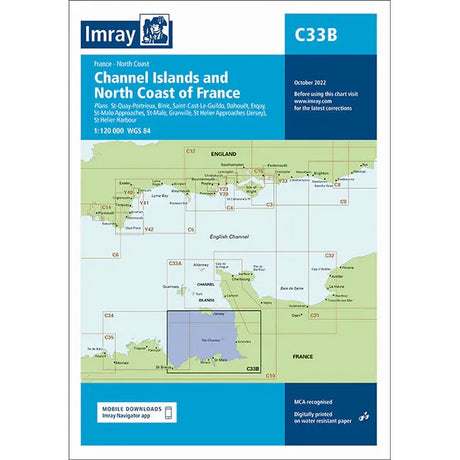
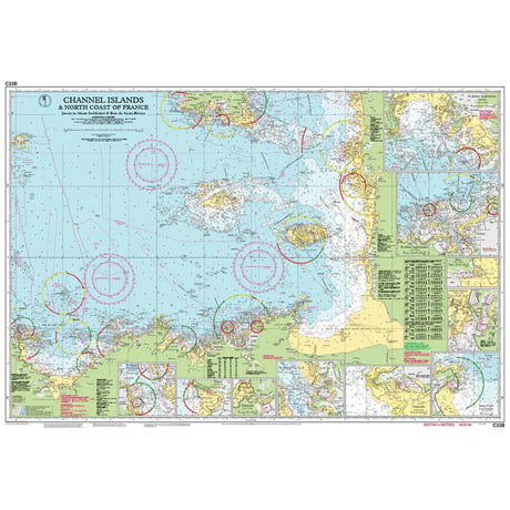
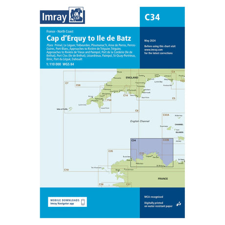

Imray Chart C35: Baie de Morlaix to L'Aber-Ildut

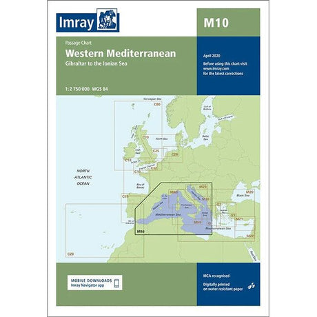
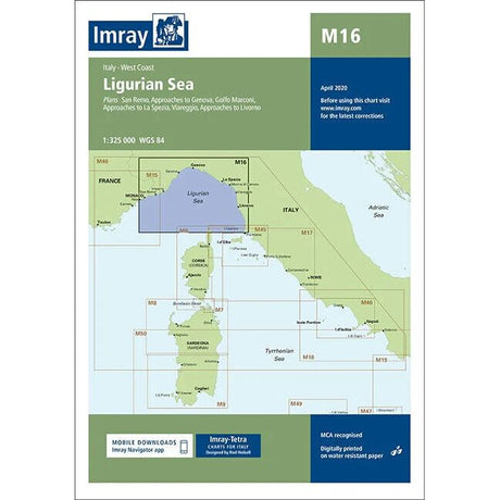
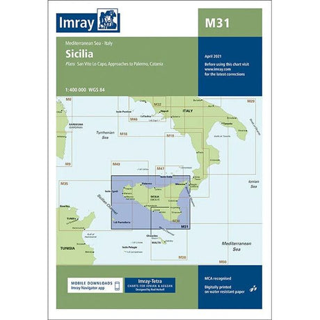
Single charts offering comprehensive coverage of the Mediterranean
640 x 900 mm folded to A4
Comes in a durable plastic wallet
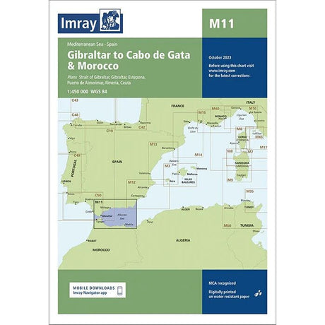
Imray Chart M11: Gibraltar to Cabo de Gata & Morocco
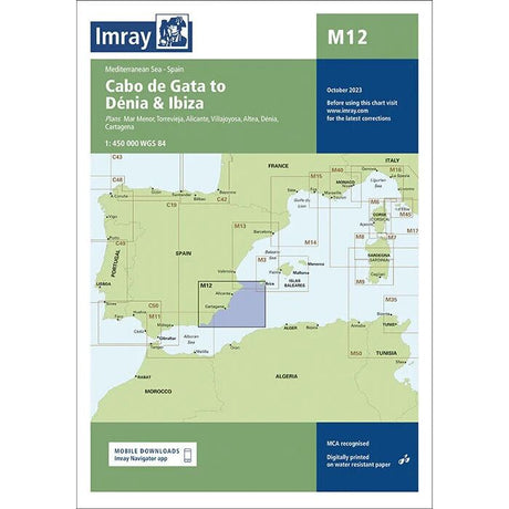
Imray Chart M12: Cabo de Gata to Dénia and Ibiza


Imray Chart M14: Barcelona to Bouches du Rhône


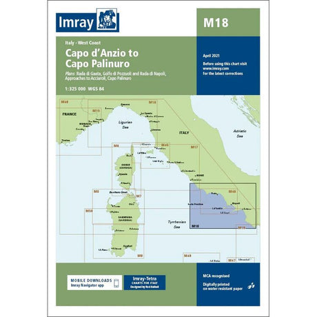
Imray Chart M18: Capo d'Anzio to Capo Palinuro


Imray Chart M21: South Coast Turkey, Syria, Lebanon and Cyprus
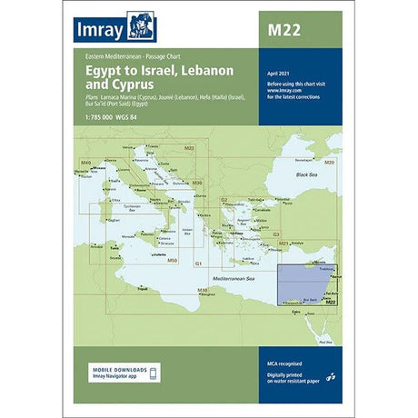
Imray Chart M22: Egypt to Israel, Lebanon and Cyprus
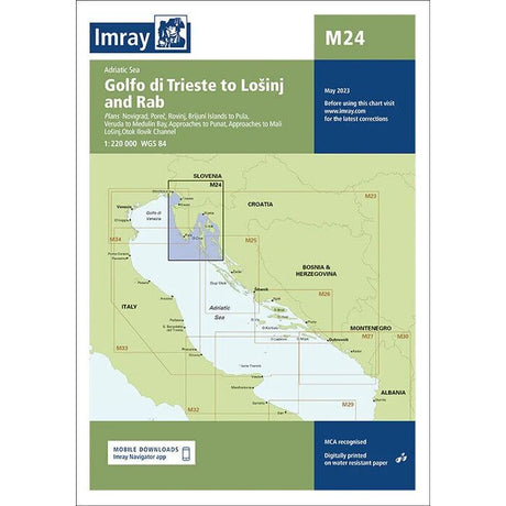
Imray Chart M24: Golfo di Trieste to Loinj and Rab


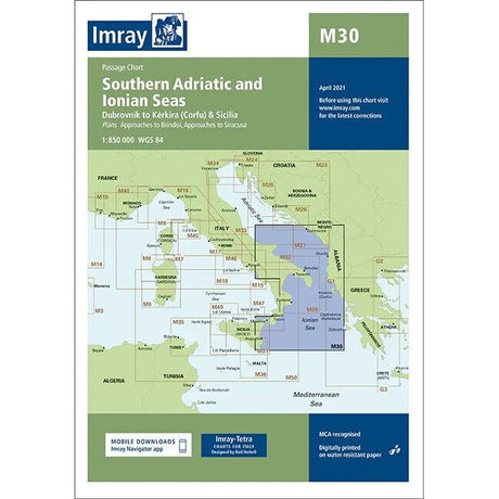
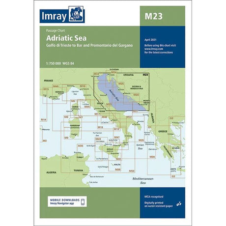
Imray Chart M30: Southern Adriatic and Ionian Seas


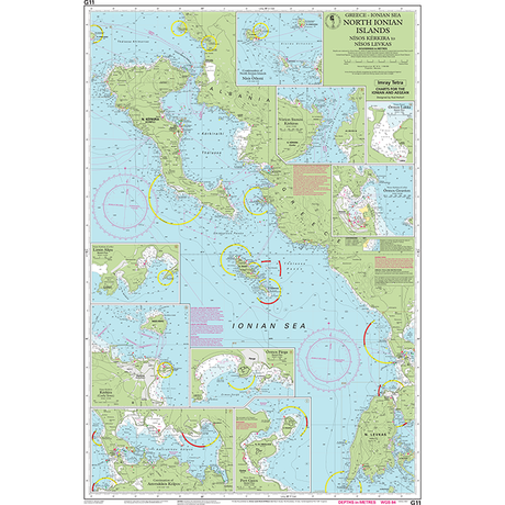
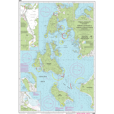
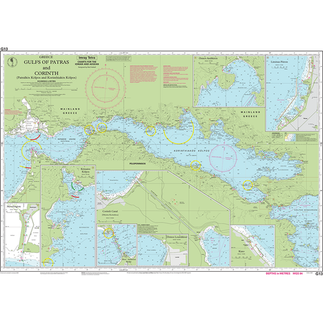
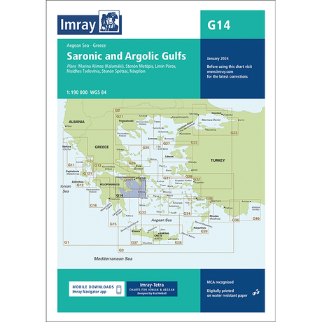
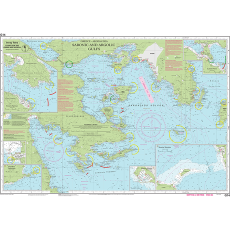
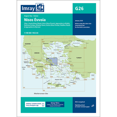
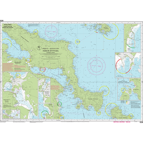
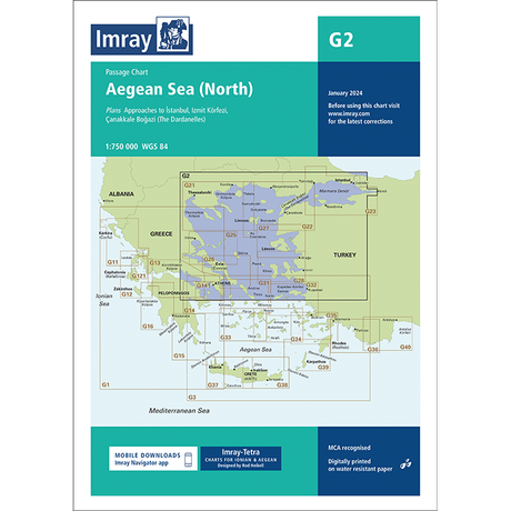
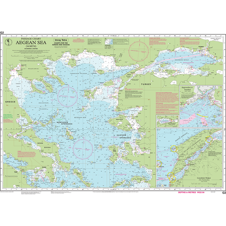
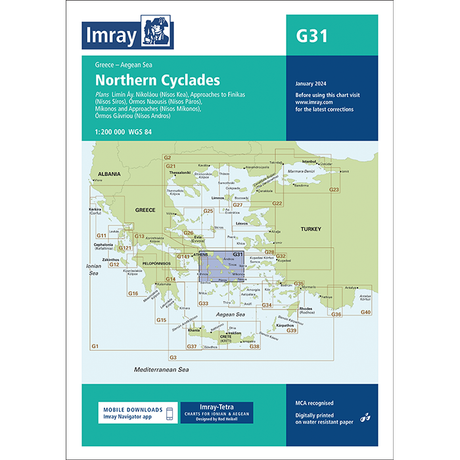
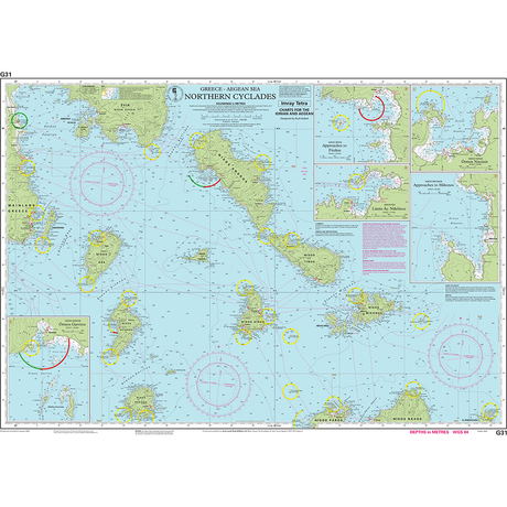
Single charts offering comprehensive coverage of the Aegean and Ionian
640 x 900 mm folded to A4
Comes in a durable plastic wallet


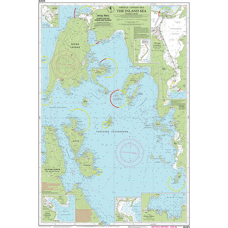
Imray Chart G121: The Inland Sea


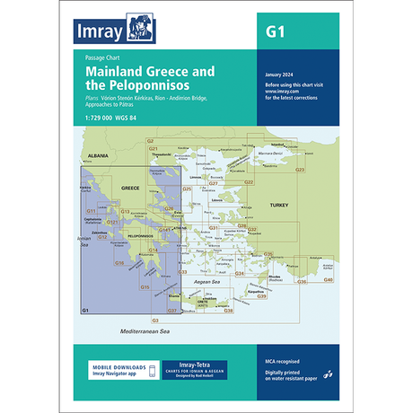
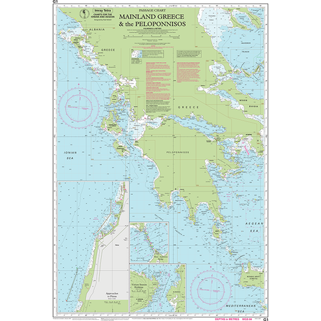
Imray Chart G1: Mainland Greece and the Peloponnisos


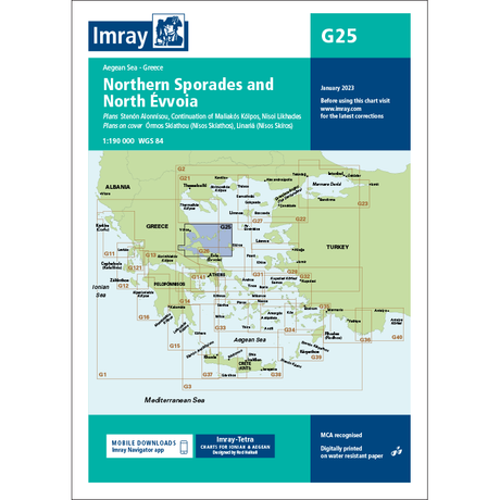
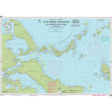
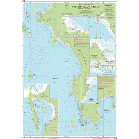
Imray Chart G25: Northern Sporades and North Évvoia


Imray Chart G27: Nísos Lésvos & the Coast of Turkey


Imray Chart G28: Nísos Khíos & the Coast of Turkey


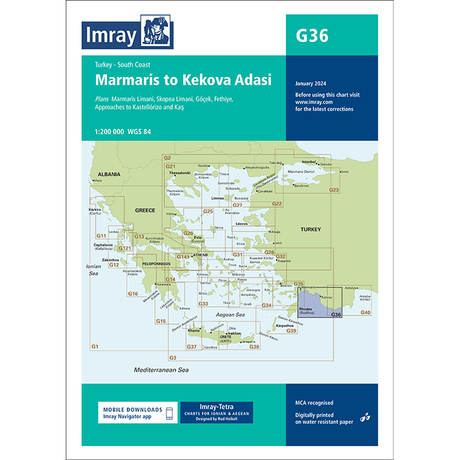
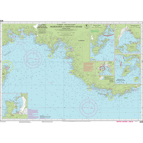
Imray Chart G32: Eastern Sporades, Dodecanese & the Coast of Turkey

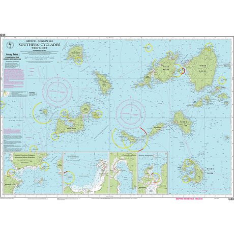
Imray Chart G33: Southern Cyclades (West Sheet)

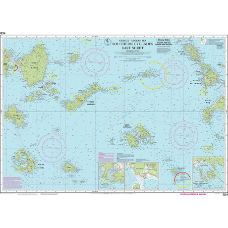
Imray Chart G34: Southern Cyclades (East Sheet)

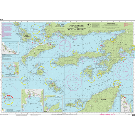
Imray Chart G35: Dodecanese and the Coast of Turkey


Single charts offering comprehensive coverage of the UK rivers, estuaries, and coastal areas
Various sizes folded to A4
Comes in a durable plastic wallet

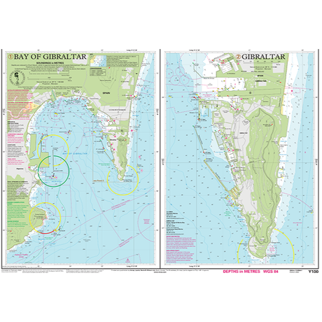
Imray Chart Y100: Gibraltar Bay and Harbour (Small Format)
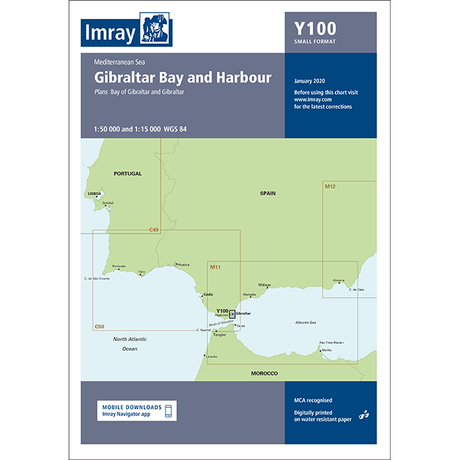

Imray Chart Y100L: Gibraltar Bay and Harbour (Laminated)

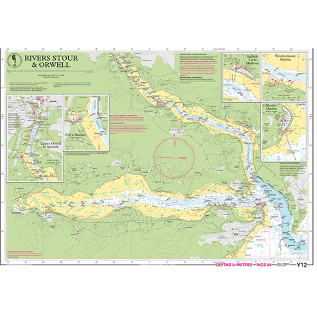
Imray Chart Y12: Rivers Stour and Orwell (Small Format)


Imray Chart Y12L: Rivers Stour and Orwell (Laminated)


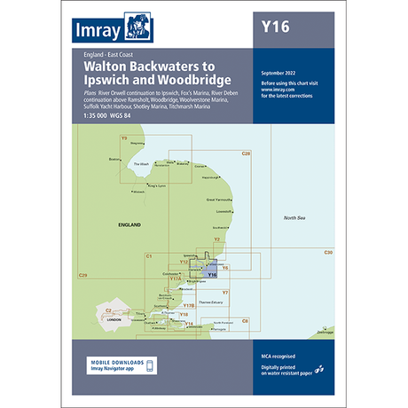
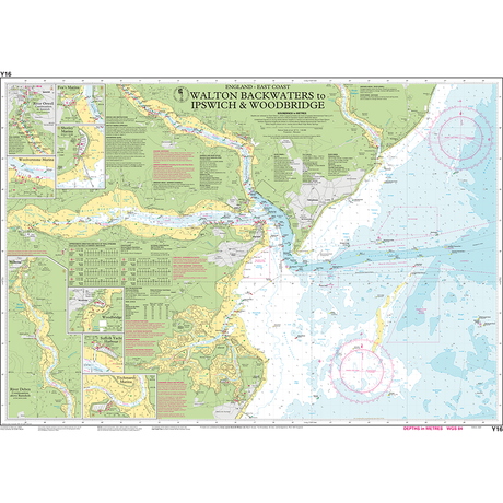
Imray Chart Y16: Walton Backwaters to Ipswich and Woodbridge

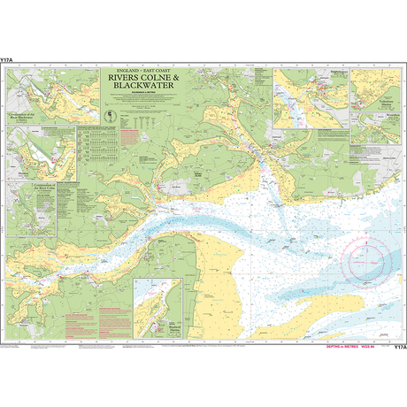
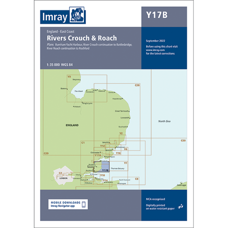
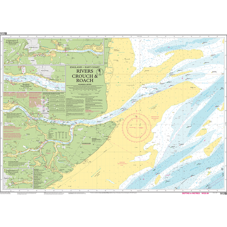
Imray Chart Y17A: The Rivers Colne and Blackwater
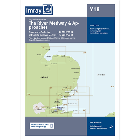
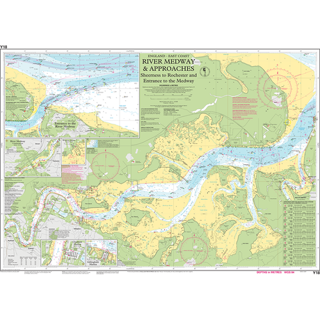
Imray Chart Y18: The River Medway and Approaches
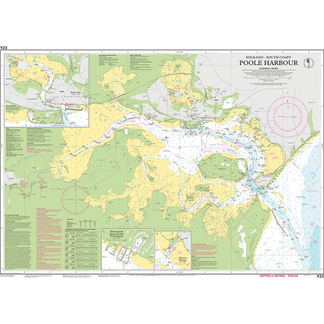
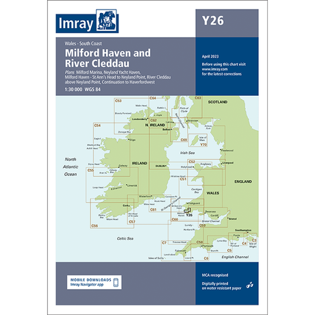
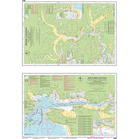
Imray Chart Y26: Milford Haven and River Cleddau
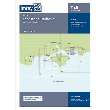
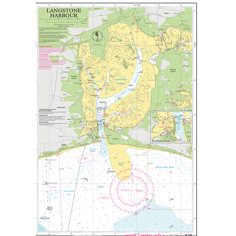
Imray Chart Y28: Langstone Harbour (Small Format)


Imray Chart Y28L: Langstone Harbour (Laminated)
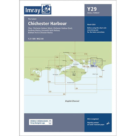
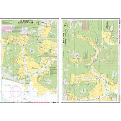
Imray Chart Y29: Chichester Harbour (Small Format)
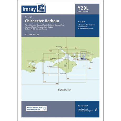

Imray Chart Y29L: Chichester Harbour (Laminated)

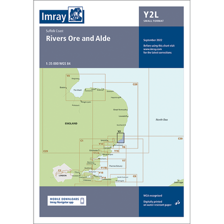
Imray Chart Y2: Rivers Ore and Alde (Small Format)

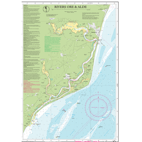
Imray Chart Y2L: Rivers Ore and Alde (Laminated)


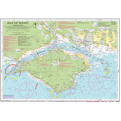
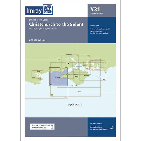
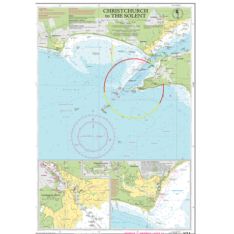
Imray Chart Y31: Christchurch to the Solent (Small Format)


Imray Chart Y31L: Christchurch to the Solent (Laminated)
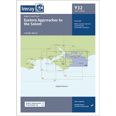

Imray Chart Y32: Eastern Approaches to the Solent (Small Format)
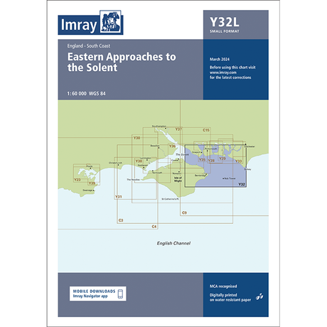
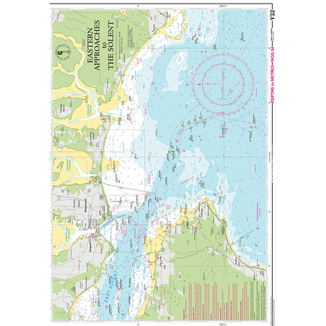
Imray Chart Y32L: Eastern Approaches to the Solent (Laminated)

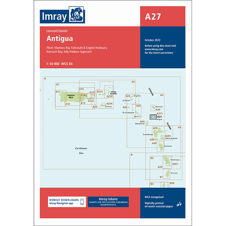
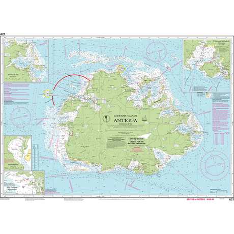
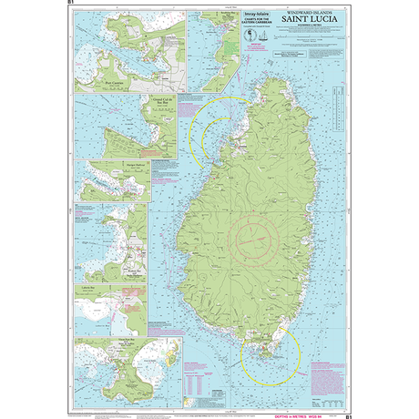
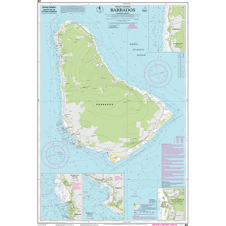
Single charts offering comprehensive coverage of the Caribbean
640 x 900 mm folded to A4
Comes in a durable plastic wallet


Imray Chart A131: Isla de Culebra and Isla de Vieques

Imray Chart A141: Cabo San Juan to Ensenada Honda and Isla de Vieques


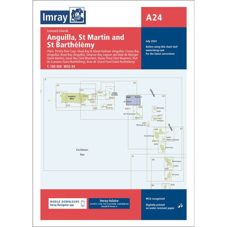
Imray Chart A24: Anguilla, St Martin and St Barthélémy


Imray Chart A25: St Eustatius, St Christopher, Nevis, Monserrat and Saba


Imray Chart A281: Anchorages in Guadeloupe, Les Saintes and Marie-Galante


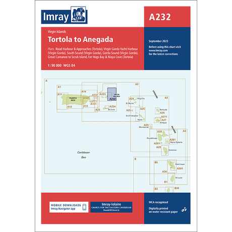
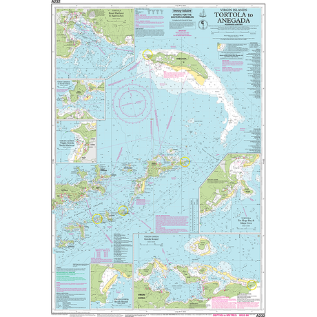
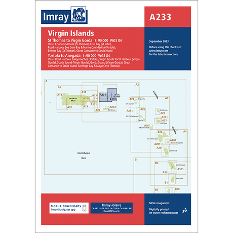
Imray Chart A2: Puerto Rico to the Virgin and Leeward Islands


Imray Chart A301: Martinique - South and East Coasts


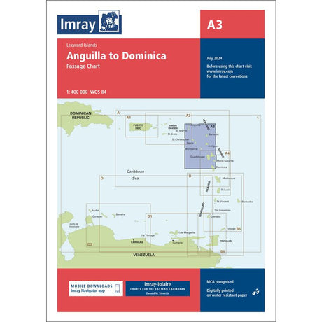
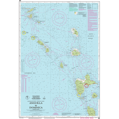
Imray Chart A3: Anguilla to Dominica Passage Chart


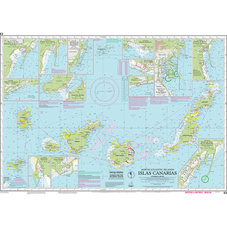
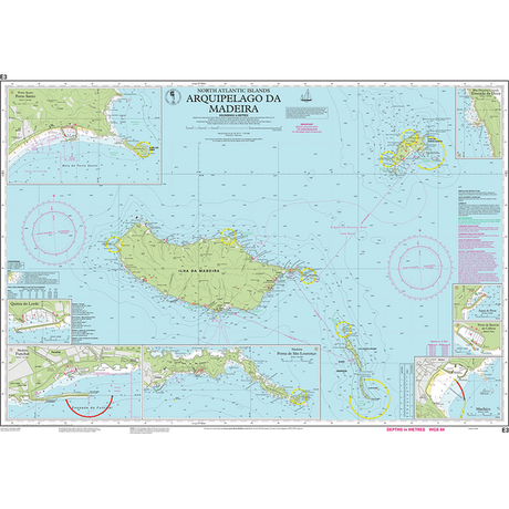
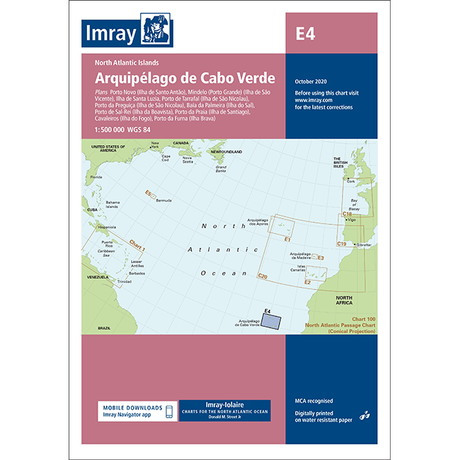
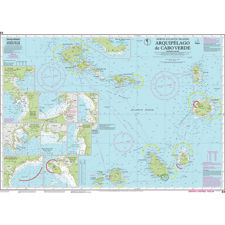
Single charts offering comprehensive coverage of the Atlantic Islands
640 x 900 mm folded to A4
Comes in a durable plastic wallet
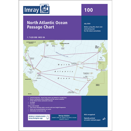
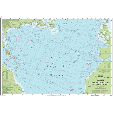
Imray Chart 100: North Atlantic Ocean Passage Chart


At SailorShop.co.uk we want to help you find the right charts for your needs. We offer:
May's nautical books are here! Featuring Attenborough's Ocean, West Country cruising, paddling guides, naval history, and kids' reads. Plus, good news about Imray charts. Explore the latest releases now.
April's nautical treasures await you! With the sailing season now upon us, it's the perfect time to enhance your navigation skills, explore distant shores, or dive into maritime history. From...

March’s new nautical books are on the horizon! With the sailing season approaching, now’s the time to sharpen your skills, plan future passages, or lose yourself in maritime history. Explore...