We've done the maths!
Trying to work out your discount?
- 75% off
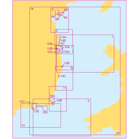
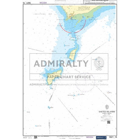
Admiralty Small Craft Charts 5621: Full Folio
In stockSale price £8010 Regular price £32040Unit price -

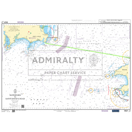
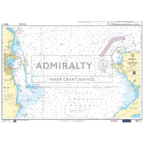
Admiralty Small Craft Chart 5621_2: Waterford to Saint David's Head
In stockRegular price £1780Unit price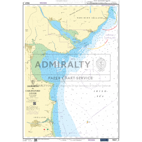
Admiralty Small Craft Chart 5621_3: Drogheda to Carlingford Lough
In stockRegular price £1780Unit price
Admiralty Small Craft Chart 5621_4: Carlingford Lough to Waterford
In stockRegular price £1780Unit price
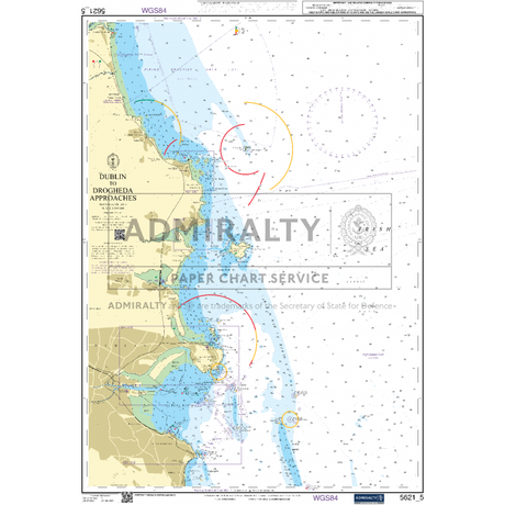
Admiralty Small Craft Chart 5621_5: Dublin to Drogheda Approaches
In stockRegular price £1780Unit price
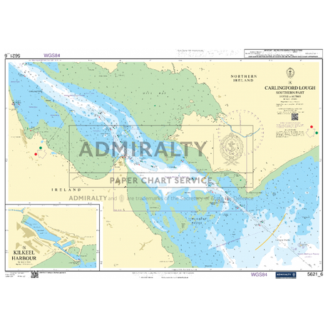
Admiralty Small Craft Chart 5621_6: Carlingford Lough Southern Part
In stockRegular price £1780Unit price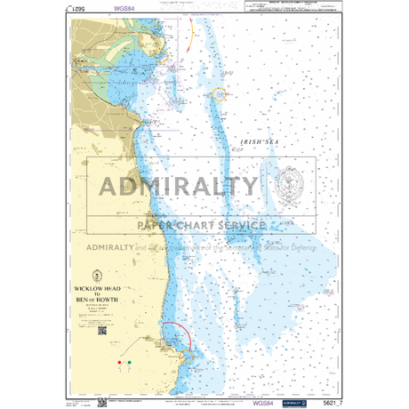
Admiralty Small Craft Chart 5621_7: Wicklow Head to Ben of Howth
In stockRegular price £1780Unit price
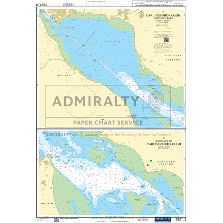
Admiralty Small Craft Chart 5621_8: Carlingford Lough Northern Part
In stockRegular price £1780Unit price
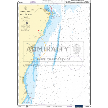
Admiralty Small Craft Chart 5621_9: Cahore Point to Wicklow Head
In stockRegular price £1780Unit price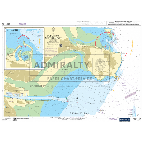
Admiralty Small Craft Chart 5621_10: Dublin Bay Northern Part
In stockRegular price £1780Unit price
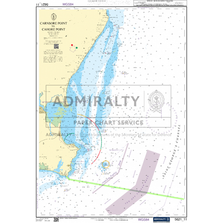
Admiralty Small Craft Chart 5621_11: Carnsore Point to Cahore Point
In stockRegular price £1780Unit price
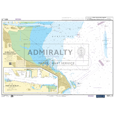
Admiralty Small Craft Chart 5621_12: Dublin Bay Southern Part
In stockRegular price £1780Unit price
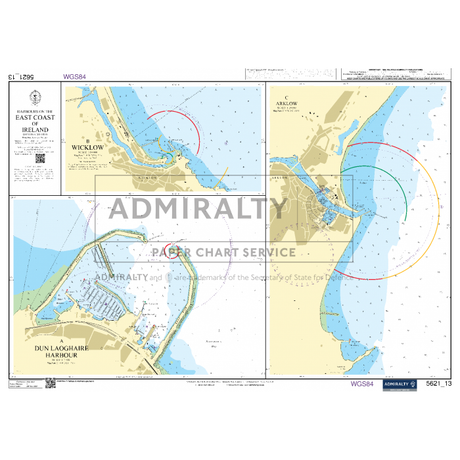
Admiralty Small Craft Chart 5621_13: Harbours on the East Coast of Ireland
In stockRegular price £1780Unit price
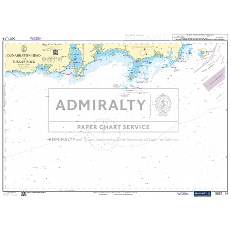
Admiralty Small Craft Chart 5621_14: Dunabrattin Head to Tuskar Rock
In stockRegular price £1780Unit price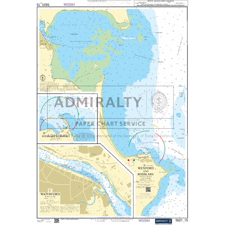

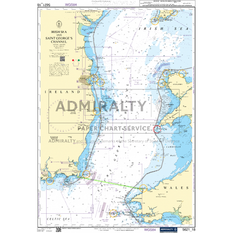
Admiralty Small Craft Chart 5621_18: Irish Sea & Saint Georges Channel
In stockRegular price £1780Unit price