Admiralty Small Craft Charts 5609: Full Folio - North West Wales
| Format: | Printed to order on 535 x 715 mm chart paper |
|---|---|
| Size: | 420 × 594 mm |
| Note: | A new edition of chart 5609_12 is due on 12 November. The current edition remains available. After you order we will contact you to confirm whether you would like the current edition or to wait for the new edition. You can also leave a note at checkout to let us know your preference. |
Admiralty Small Craft Charts 5609: Full Folio - North West Wales is backordered and will ship as soon as it is back in stock.
Delivery Information
Delivery Information
Friendly Advice
Friendly Advice
Returns
Returns

Admiralty Small Craft Charts 5609: Full Folio - North West Wales

Admiralty Small Craft Charts 5609: Full Folio - North West Wales is backordered and will ship as soon as it is back in stock.
North West Wales Chart Folio
All 15 charts from Aberystwyth to Anglesey, including Holyhead, the Menai Strait, Caernarfon Bay, Conwy and Pwllheli. 75% discount applied.
All 15 Admiralty Small Craft Charts covering the North West Wales coast from Aberystwyth to Anglesey, including Holyhead, the Menai Strait, Caernarfon Bay, Conwy, Pwllheli, Porthmadog and Barmouth.
This bundle of charts has been discounted by 75%, the highest rate in the Admiralty Small Craft Chart discount tiers. If you add more Admiralty Small Craft Charts to your order, the same 75% discount applies. The system counts every chart in your order, folio sets and individual charts together, and applies the discount automatically at checkout.
Charts Included
| Chart | Title | Scale | Edition |
|---|---|---|---|
| 5609_1 | Saint George's Channel and Irish Sea (Southern Part) | 1 : 500,000 | 04 Nov 2021 |
| 5609_2 |
Aberystwyth to Barmouth A: Aberystwyth to Barmouth (1:75,000) B: Aberystwyth (1:18,000) |
1 : 75,000 | 31 Aug 2023 |
| 5609_3 |
Saint Tudwal's Roads and Mochras Lagoon A: Saint Tudwal’s Roads (1:18,000) B: Mochras Lagoon (1:10,000) |
1 : 18,000 | 04 Nov 2021 |
| 5609_4 | Barmouth to Abersoch | 1 : 75,000 | 04 Nov 2021 |
| 5609_5 |
Caernarfon Bay A: Caernarfon Bay (1:75,000) B: Porth Dinllaen (1:18,000) |
1 : 75,000 | 04 Nov 2021 |
| 5609_6 | Llyn Peninsula (Western Part) | 1 : 75,000 | 04 Nov 2021 |
| 5609_7 |
Plans in the Northern Part of Cardigan Bay A: Approaches to Porthmadog (1:25,000) B: Porthmadog Harbour (1:7,500) C: Barmouth (1:25,000) D: Aberdovey (1:25,000) |
Plans | 15 Dec 2022 |
| 5609_8 |
Menai Strait (Western Part) A: Western Entrance to Menai Strait (1:25,000) B: Caernarfon to Carreg Ginnog (1:25,000) |
1 : 25,000 | 04 Nov 2021 |
| 5609_9 |
Menai Strait (Eastern Part) A: Carreg Ginnog to Bangor (1:25,000) B: Eastern Entrance to Menai Strait (1:25,000) C: The Swellies (1:10,000) |
1 : 25,000 | 04 Nov 2021 |
| 5609_10 | Holy Island to Red Wharf Bay | 1 : 75,000 | 05 Oct 2023 |
| 5609_11 | Approaches to Holyhead | 1 : 25,000 | 04 Nov 2021 |
| 5609_12 | Holyhead Harbour | 1 : 6,250 | 12 Sep 2024 |
| 5609_13 | Red Wharf Bay to Colwyn Bay | 1 : 75,000 | 05 Oct 2023 |
| 5609_14 | Approaches to Conwy | 1 : 25,000 | 17 Mar 2022 |
| 5609_15 |
Conwy, Pwllheli and The Skerries A: Conwy (1:10,000) B: Pwllheli (1:12,500) C: The Skerries (1:25,000) |
Plans | 17 Mar 2022 |
What You Get
- Every chart for the area, from passage planning to harbour plans, all printed on demand with corrections applied up to the date of printing
- Tidal and safety data included on each chart, plus a supplement available from Admiralty's website or via the QR code near each chart title
- Shipped rolled in a sturdy cardboard tube
- Recognised by the MCA for coded vessels and fishing vessels under 24m LOA
About Admiralty Small Craft Charts
Admiralty Small Craft Charts are produced by the United Kingdom Hydrographic Office (UKHO) for recreational sailors and small commercial vessels. They cover popular cruising areas, harbours and coastal waters at scales suited to inshore navigation. Each chart is printed to order on chart paper with all corrections applied up to the date of printing.
Each folio has an accompanying supplement containing tidal stream (diamond) tables, secondary port differences, tidal curves, Coastguard contact information and local navigation notes, available from Admiralty's website or by scanning the QR code near the chart title.
Good to Know
If you haven't bought Admiralty Small Craft Charts since 2022, a few things have changed. Charts no longer come in plastic wallets and supporting data is now published online by Admiralty. The printed chart area is A2 (420 x 594 mm) but the paper is slightly larger (535 x 715 mm), leaving a white border of about 6 cm on each side. You may want to trim the sheets depending on how you store your charts.
These charts are printed to order, so they can't be restocked or resold once printed. If you're not sure this is the right folio for your trip, just ask and we'll help you put together the right set.
Shipping
Admiralty charts are printed on demand by an official UKHO distributor. Each chart is printed, trimmed, quality checked, stamped and labelled individually. Please check for handling time messages during ordering. If you're in a hurry, get in touch with us and we'll do our best to help.
Charts ship rolled in a cardboard tube (Royal Mail) or a long rectangular box (DPD). The DPD box carries a slightly higher risk of minor creasing, which usually flattens out under some heavy books.
Need a full chart package for a trip? We'll sort it. Just let us know.
-
Height (mm)
-
Width (mm)
-
Format
-
TypePassage, Approach, Harbour
-
Scales1 : 500,000, 1 : 75,000, 1 : 25,000, 1 : 18,000, 1 : 12,500, 1 : 10,000, 1 : 7,500, 1 : 6,250
-
RegionWales: North West
-
HarboursMochras Lagoon, Porthmadog, Holyhead, Conwy, Pwllheli
-
Sea AreaIrish Sea, Liverpool Bay, Cardigan Bay, Morecambe Bay, Caernarfon Bay, Menai Strait, Carlingford Lough
-
CountryWales, Ireland, England, Northern Ireland, Isle of Man
-
AreaUK and Ireland
Payment & Security
Payment methods
Your payment information is processed securely. We do not store credit card details nor have access to your credit card information.
Chartwork Instruments
View all-
-
-
 4% off
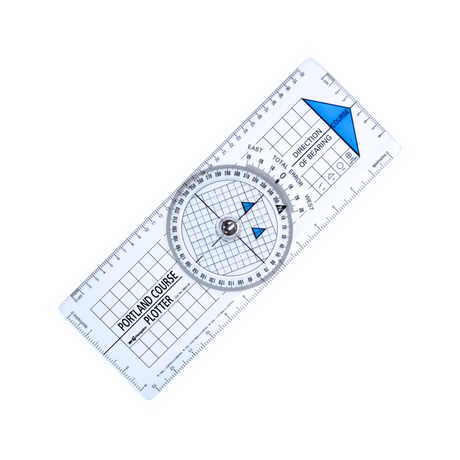
Blundell Harling Portland Course Plotter
BackorderedSale price £21.34 Regular price £22.19Unit price -
-
-
5% off
-
-
-
-
-
-
-
5% off
-
-
5% off
-
-
5% off
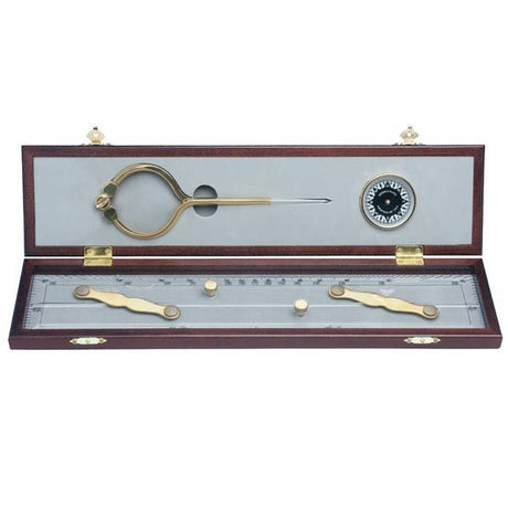
Weems & Plath 15" Parallel Rule with Brass Arms
BackorderedSale price £34.19 Regular price £35.95Unit price -
-
-
5% off
-
-
5% off
-
-
-
-
-
-
-
-
-
5% off
-
-
-
-
-
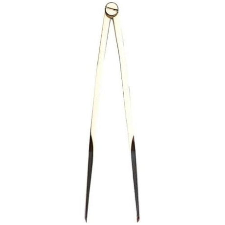
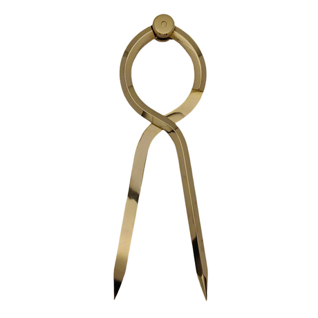
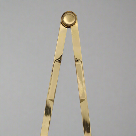
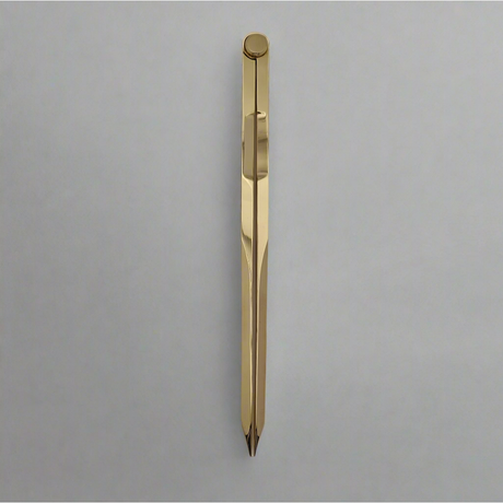
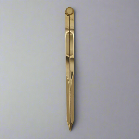
Weems & Plath 8" Straight Pattern Brass Divider
Very low stock (1 unit)Regular price £28.95Unit price -
-

-
5% off
-