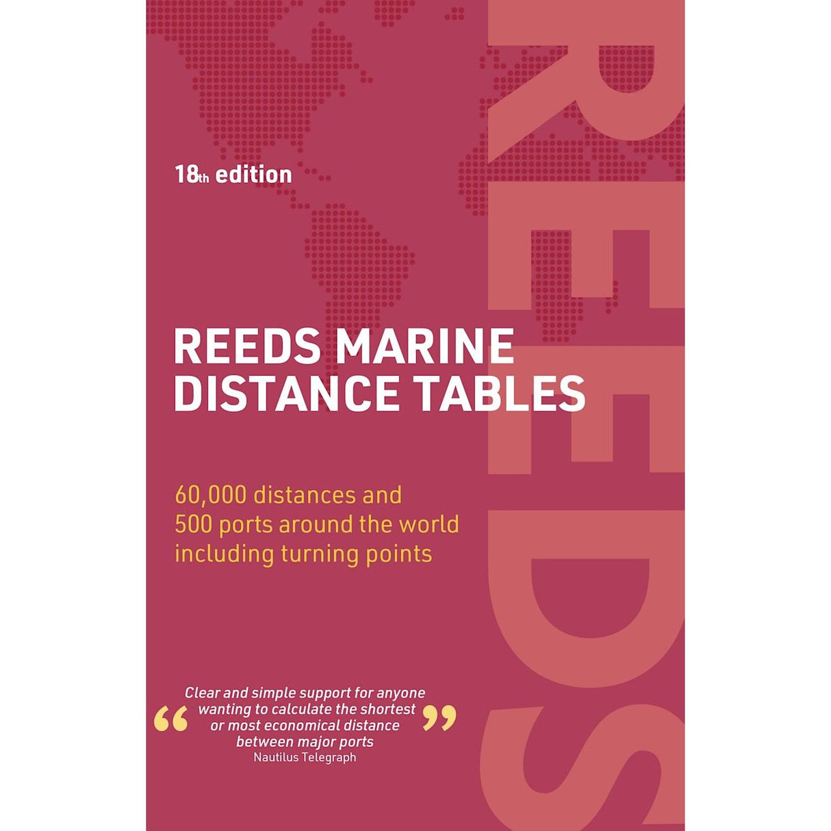
Reeds Marine Distance Tables
| Authors: | Miranda Delmar-Morgan, Kendall Carter |
|---|---|
| Edition: | 2024 |
| Format: | Paperback |
| Size: | 216 x 140 mm |
Reeds Marine Distance Tables is backordered and will ship as soon as it is back in stock.
Couldn't load pickup availability
Delivery Information
Delivery Information
We aim to dispatch all orders by the next business day, but we're a small business and sometimes when it's busy it may take a little bit longer. If there's going to be any delays we'll get in touch and keep you up-to-date.
Shipping is free for all orders of £50 or more!
We work with Royal Mail, DPD and DHL to offer the most convenient delivery options to our customers.
Friendly Advice
Friendly Advice
Chris is a Master Mariner and knows a thing or two about seafaring. If you need any help then don't be shy - send us an email or get in touch using the WhatsApp icon.
Easy Returns
Easy Returns
Not what you were looking for? No problem. We can accept returns of items in as-sold condition for up to 30 days (maybe a bit longer but don't tell anyone).
Just let us know and we'll sort everything out, including the shipping cost back to us.
Unfortunately this doesn't apply to Print on Demand charts as they are correct at the time of printing.
Of course if there's any faults or damage then let us know and we'll make it right!
Quick Port Distances at Your Fingertips
Reeds Marine Distance Tables are the go-to reference for captains, navigators and shipowners seeking fast, accurate distance data between major commercial ports across the globe. Ideal for merchant vessels, cruise liners, and increasingly the superyacht fleet, this ready-reckoner simplifies voyage planning worldwide.
The tables are divided into strategic market areas and include a pull-out map for easy regional reference. Traffic Separation Schemes are built into the calculations, and approximations can be made to any port not explicitly listed using the closest nearby port. The book also features key turning points such as Cape Finisterre and Dover Straits, plus Transatlantic distances, world time zones, and time/speed conversion charts.
This updated edition includes expanded coverage of Indian Ocean ports, new routing reflecting China’s shipping influence, and new Adriatic and Aegean inter-distance tables. It also incorporates trends in freighter and cruise movements to highlight the busiest ports worldwide.
Reeds Marine Distance Tables offer a single reference point for calculating the shortest or most economical distances between key ports around the world.
About the Authors
Miranda Delmar-Morgan has sailed most of her life, professionally for over ten years. She currently cruises and works professionally in European waters. She is the author of Reeds Marine Distance Tables and Reeds Maritime Flag Handbook, and is a regular contributor to Yachting Monthly.
Kendall Carter was pilot for HMS Ark Royal from 1991 to 1994 and ran the Royal Navy's Navigation School. Formerly Harbour Master for Portsmouth, he now works as a consultant for the Port Authority of New South Wales and is a Fellow of the Nautical Institute.
Praise for Reeds Marine Distance Tables
“A first class reference”
– Nautical Magazine
“Clear and simple support for anyone wanting to calculate the shortest or most economical distance between major ports”
– Telegraph
-
AuthorMiranda Delmar-Morgan, Kendall Carter
-
Edition
-
Format
-
Size
-
Pages
-
ISBN
Payment & Security
Payment methods
Your payment information is processed securely. We do not store credit card details nor do we have access to your credit card information.


