Imray Chart 100: North Atlantic Ocean Passage Chart
| Edition: | 2024 |
|---|---|
| Corrected to: | July 2024 |
| Scale: | 1 : 7,620,000 |
| Format: | Water-resistant paper chart in A4 plastic wallet |
| Size: | 787 x 1,118 mm |
Imray Chart 100: North Atlantic Ocean Passage Chart - 2024 / July 2024 is backordered and will ship as soon as it is back in stock.
Delivery Information
Delivery Information
We aim to dispatch all orders by the next business day, but we're a small business and sometimes when it's busy it may take a little bit longer. If there's going to be any delays we'll get in touch and keep you up-to-date.
Shipping is free for all orders of £50 or more!
We work with Royal Mail, DPD and DHL to offer the most convenient delivery options to our customers.
Friendly Advice
Friendly Advice
Chris is a Master Mariner and knows a thing or two about seafaring. If you need any help then don't be shy - send us an email or get in touch using the WhatsApp icon.
Easy Returns
Easy Returns
Not what you were looking for? No problem. We can accept returns of items in as-sold condition for up to 30 days (maybe a bit longer but don't tell anyone).
Just let us know and we'll sort everything out, including the shipping cost back to us.
Unfortunately this doesn't apply to Print on Demand charts as they are correct at the time of printing.
Of course if there's any faults or damage then let us know and we'll make it right!

Imray Chart 100: North Atlantic Ocean Passage Chart - 2024 / July 2024 is backordered and will ship as soon as it is back in stock.
Explore with Imray
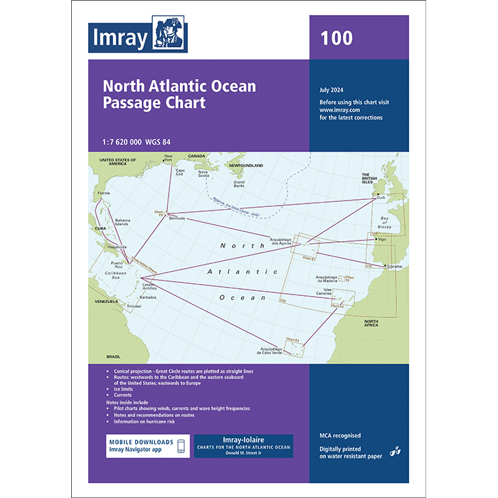
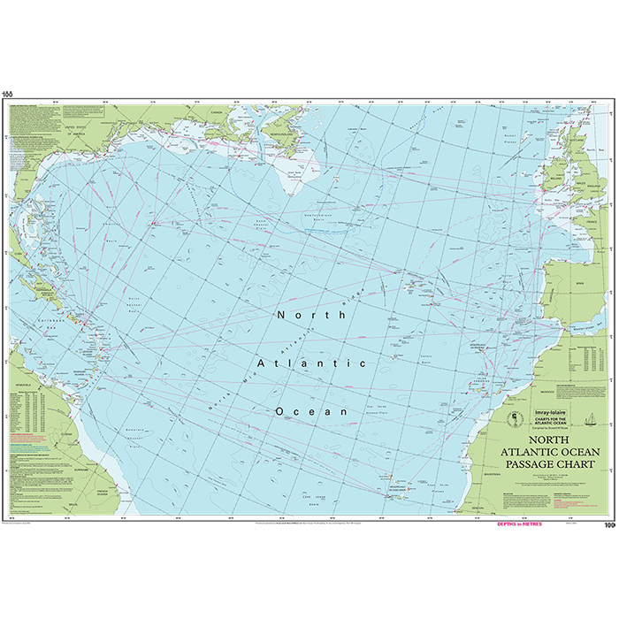
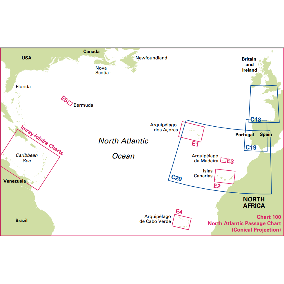
At a scale of 1:7,620,000 this chart covers the North Atlantic from Brazil to Newfoundland and Gibraltar to the Caribbean. It has been constructed on a conical projection that means that Great Circle tracks can be plotted as straight lines rather than curves. Chart 100 shows the main trend of depth contours, limits of ice, magnetic variations and keys routes as identified by Donald M. Street Jr.
In the enclosed booklet are pilot charts showing winds, currents and wave height frequencies with accompanying notes on favourable route timings and hurricane risk. Chart 100 is an important companion for Atlantic yachtsmen on passage and an excellent source of planning information.
For this edition the magnetic variation curves have been replaced by a web link directing sailors to up to date information. The monthly diagrams indicating meteorological seasonal variations have been changed from May, June, November and December. There has been general updating throughout.
About Imray
Imray has been publishing nautical information for recreational and professional mariners since the mid-18th century. Originally a family business, the company retains continuity through generations of maritime knowledge. Today, Imray is part of FB Imray, a joint venture with freytag & berndt (Austrian cartographic specialists). This has allowed them to combine traditional expertise with modern production methods.
Imray is recognised by the Maritime and Coastguard Agency as a chart producer. Their portfolio extends beyond paper charts to include pilot books, cruising guides, almanacs, and navigation handbooks.
-
Edition
-
Corrected to
-
TypePassage
-
Scales1 : 7,620,000
-
Format
-
Size
-
Pages
-
ISBN
Payment & Security
Payment methods
Your payment information is processed securely. We do not store credit card details nor do we have access to your credit card information.

