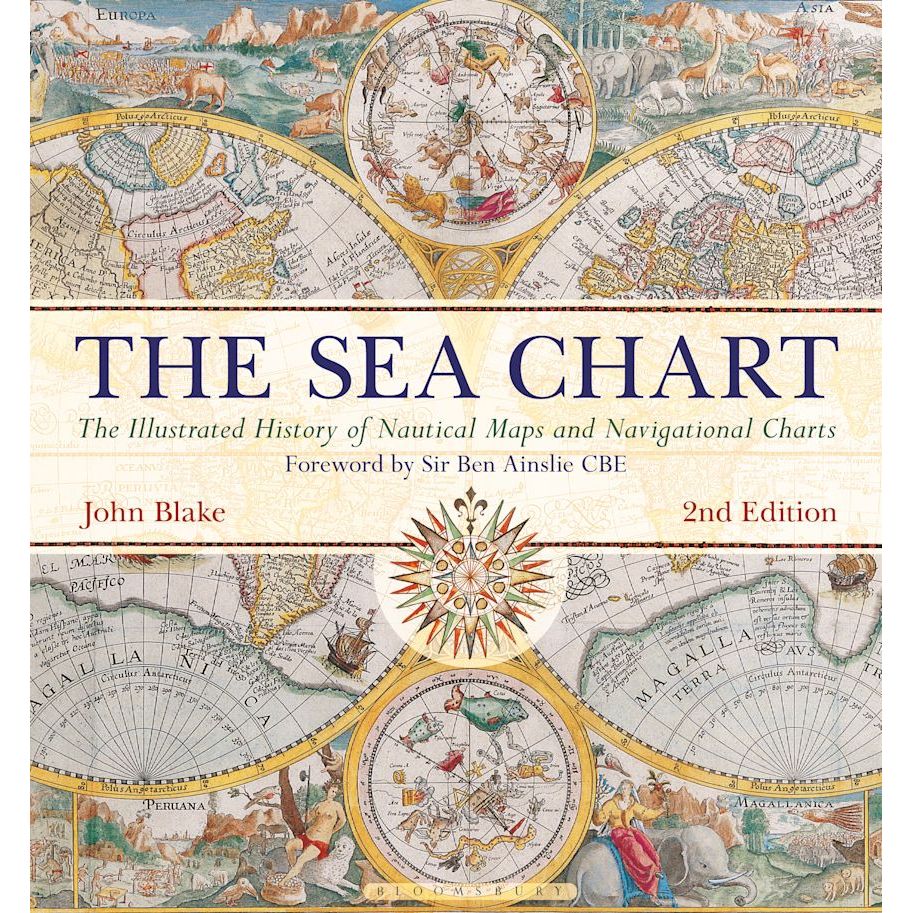
The Sea Chart
| Author: | John Blake |
|---|---|
| Published: | 2016 |
| Format: | Hardback, 192 pages |
| Size: | 307 × 287 × 23 mm |
The Sea Chart - Hardback / 2nd edition (2016) is backordered and will ship as soon as it is back in stock.
Delivery Information
Delivery Information
Friendly Advice
Friendly Advice
Returns
Returns
The Sea Chart

The Sea Chart - Hardback / 2nd edition (2016) is backordered and will ship as soon as it is back in stock.
The Art and Science of Maritime Navigation
Discover how nautical charts became the essential tools that enabled exploration, trade, and naval strategy across the globe.
The Sea Chart examines the history and development of nautical maps and charts, in both scientific and aesthetic terms, as the essential tools of safe and accurate seaborne navigation.
To sail the oceans needed skill as well as courage and experience, and the sea chart with, where appropriate, the coastal view, was the tool by which ships of trade, transport or conquest navigated their course.
This book traces how Italian merchant-venturers of the early thirteenth century developed the earliest 'portulan' pilot charts of the Mediterranean. The subsequent speed of exploration by European seafarers, encompassing the New World, the extraordinary voyages around the Cape of Good Hope and the opening up of the trade to the East, India and the Spice Islands were both a result of the development of the sea chart and additionally as an aid to that development.
By the eighteenth century the discovery and charting of the coasts and oceans of the globe had become a strategic naval and commercial requirement. Such involvements led to Cook's voyages in the Pacific, the search for the Northwest Passage and races to the Arctic and Antarctic.
The volume is arranged along chronological and then geographical lines. Each of the ten chapters is split into two distinct halves examining the history of the charting of a particular region and the context under which such charting took place following which specific navigational charts and views together with other relevant illustrations are presented. Key figures or milestones in the history of charting are then presented in stand-alone story box features.
This new edition features around 40 new charts and accompanying text.
Praise for The Sea Chart
"The magnificent, enduring legacy which Lt Cdr John Blake, RN, has bequeathed to the world is one of those astonishing volumes which changes lives because it transforms the way history is viewed. Thank you, Lt Cmdr Blake. You have become the second Blake to bring nautical greatness to the Royal Navy!"
- Defense & Foreign Affairs Special Analysis
"... in this lustrous work, John Blake ... has assembled a mouth-watering collection with which to illuminate this history of cartography."
- Classic Boat Magazine
"... the book is a useful and beautifully produced look at a subject which has important implications in the study of navigation, exploration, whaling, colonisation and empire."
- Richard Pflederer, History Today
"New books on sea charts are most welcome, especially when they contain material rarely or never previously published. John Blake has trawled a variety of chart collections ... and has put together a most interesting volume."
- Navigation News
About the Author
Lieutenant-Commander John Blake, FRIN, spent twelve years in the Royal Navy. He has worked extensively with the UK Hydrographic Office, the producers of Admiralty Charts, and is a Fellow of the Royal Institute of Navigation and the Royal Geographical Society. John is the author of the acclaimed Bloomsbury publications The Sea Chart (2003) and Sea Charts of the British Isles (2005). His research interests span the maritime world, from nautical charts and surveying to merchant shipping.
-
ISBN
-
Pages
-
Author
-
Publisher
-
Imprint
-
Language
-
Edition
-
Published
-
Height (mm)
-
Width (mm)
-
Depth (mm)
-
Weight (g)
Payment & Security
Payment methods
Your payment information is processed securely. We do not store credit card details nor do we have access to your credit card information.


