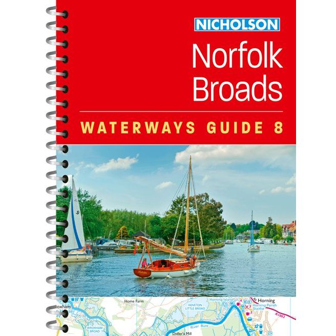
Nicholson Waterways Guide 8: Norfolk Broads
| Published: | 2025 |
|---|---|
| Size: | 210 × 148 × 13 mm |
Nicholson Waterways Guide 8: Norfolk Broads - Spiral-bound / 2025 is backordered and will ship as soon as it is back in stock.
Couldn't load pickup availability
Delivery Information
Delivery Information
We aim to dispatch all orders by the next business day, but we're a small business and sometimes when it's busy it may take a little bit longer. If there's going to be any delays we'll get in touch and keep you up-to-date.
Shipping is free for all orders of £50 or more!
We work with Royal Mail, DPD and DHL to offer the most convenient delivery options to our customers.
Friendly Advice
Friendly Advice
Chris is a Master Mariner and knows a thing or two about seafaring. If you need any help then don't be shy - send us an email or get in touch using the WhatsApp icon.
Easy Returns
Easy Returns
Not what you were looking for? No problem. We can accept returns of items in as-sold condition for up to 30 days (maybe a bit longer but don't tell anyone).
Just let us know and we'll sort everything out, including the shipping cost back to us.
Unfortunately this doesn't apply to Print on Demand charts as they are correct at the time of printing.
Of course if there's any faults or damage then let us know and we'll make it right!
Exploring the Norfolk and Suffolk Broads
Explore Britain's canals and rivers with the Nicholson bestselling guides.
For all users of the inland waterways, this popular and practical guide covers the waterways of the Broads National Park, including the Norfolk and Suffolk Broads and the Rivers Ant, Bure, Thurne, Wensum, Yare, Chet and Waveney.
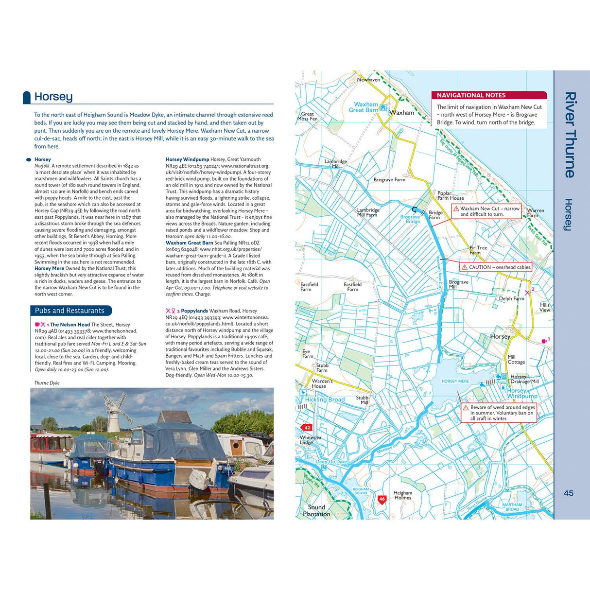
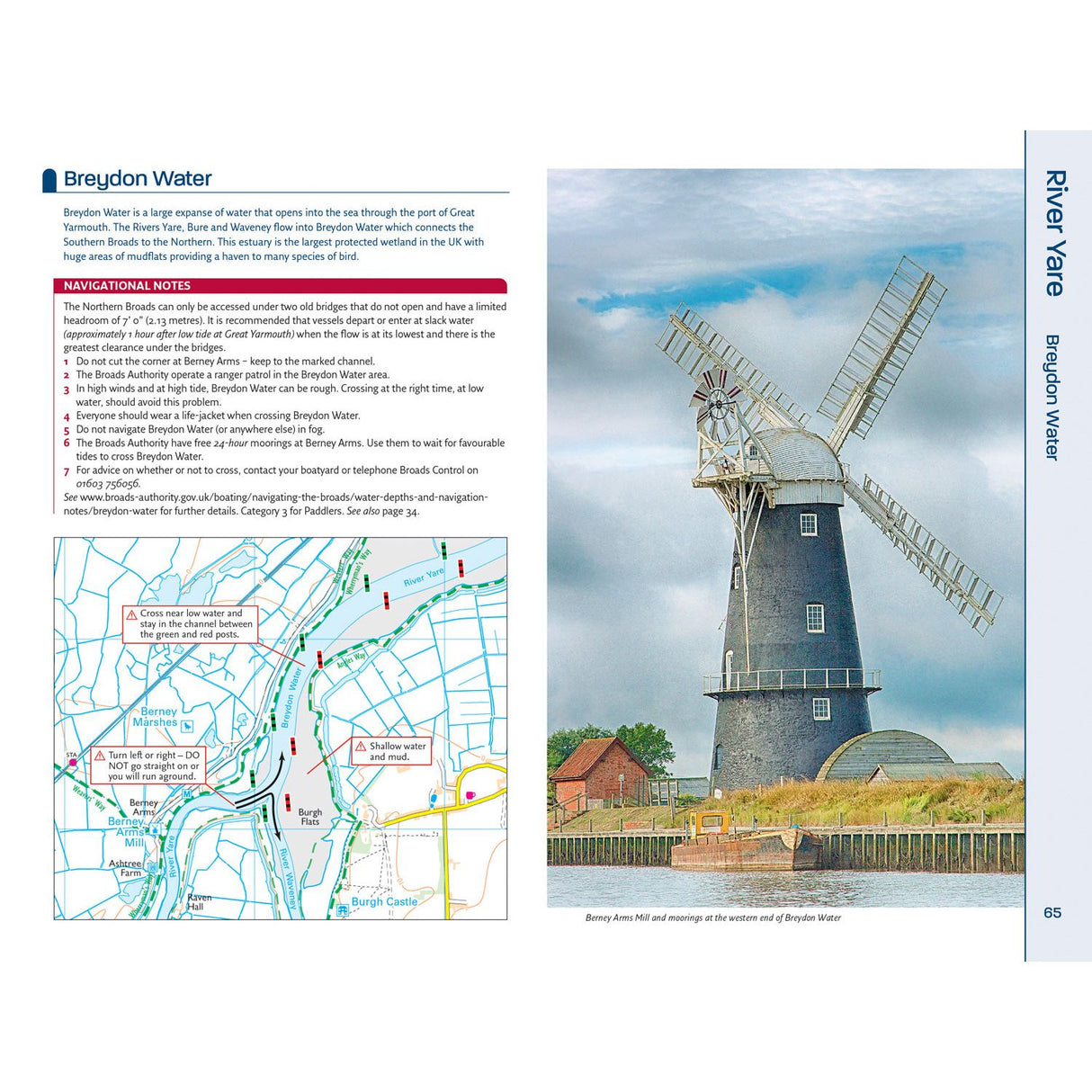
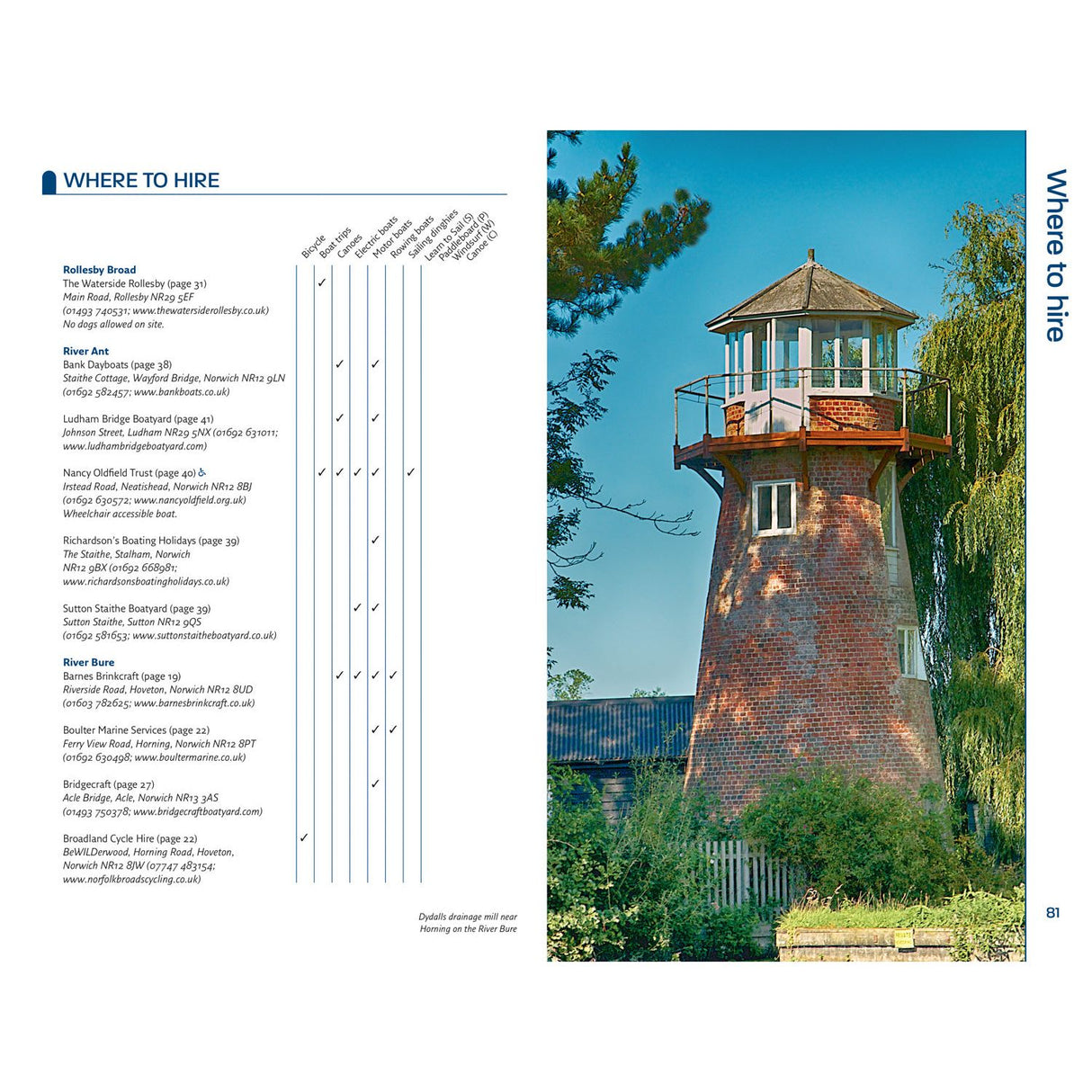
The up-to-date detailed maps clearly show the location of essential features such as boating facilities, as well as pubs, shops and restaurants in the area. There are comprehensive navigational notes and descriptive text on the history of the Broads, and on local services and places of interest, for which postcodes are included – ideal for use with sat-navs. Scale: 2 inches = 1 mile, 3 cm = 1 km.
This practical A5 guide features ‘lie flat’ spiral binding and a ‘bookmark’ back cover flap for ease of reference.
The Broads are one of Britain’s best-known holiday boating areas. They make up Britain’s largest and most important protected wetland and are a national park providing a home to some of the rarest plants and animals in the country. A unique and enchanting wetland, with over 125 miles of lock-free navigable tidal waters, all waiting to be explored.
About Nicholson Waterways Guides
In print for more than 50 years, the Nicholson guides to the waterways have always been a vital part of journeys along Britain’s canals and rivers. These bestselling guides are designed for anyone with an interest in Britain’s inland waterways – from experienced boaters to those planning their first trip, as well as walkers, cyclists and visitors.
Due to Royal Mail size restrictions, spiral-bound chart and guide formats are sent rolled for delivery.
-
ISBN
-
Pages
-
Publisher
-
Imprint
-
Language
-
Published
-
Height (mm)
-
Width (mm)
-
Depth (mm)
-
Weight (g)
Payment & Security
Payment methods
Your payment information is processed securely. We do not store credit card details nor do we have access to your credit card information.

