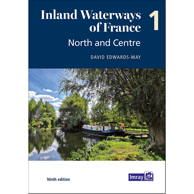
Inland Waterways of France Volume 1: North and Centre
| Author: | David Edwards-May |
|---|---|
| Published: | 2021 |
| Format: | Paperback, 208 pages |
| Size: | 297 × 210 × 15 mm |
Inland Waterways of France Volume 1: North and Centre - Paperback / 9th edition (2021) is backordered and will ship as soon as it is back in stock.
Couldn't load pickup availability
Delivery Information
Delivery Information
We aim to dispatch all orders by the next business day, but we're a small business and sometimes when it's busy it may take a little bit longer. If there's going to be any delays we'll get in touch and keep you up-to-date.
Shipping is free for all orders of £50 or more!
We work with Royal Mail, DPD and DHL to offer the most convenient delivery options to our customers.
Friendly Advice
Friendly Advice
Chris is a Master Mariner and knows a thing or two about seafaring. If you need any help then don't be shy - send us an email or get in touch using the WhatsApp icon.
Easy Returns
Easy Returns
Not what you were looking for? No problem. We can accept returns of items in as-sold condition for up to 30 days (maybe a bit longer but don't tell anyone).
Just let us know and we'll sort everything out, including the shipping cost back to us.
Unfortunately this doesn't apply to Print on Demand charts as they are correct at the time of printing.
Of course if there's any faults or damage then let us know and we'll make it right!
2,700km Routes Covered
The ninth edition of Inland Waterways of France is the ideal guide for planning cruises in and through the most fascinating and diverse waterway network in Europe.
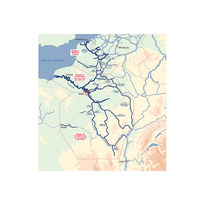
This edition takes a new paperback format, split into three volumes. Author David Edwards-May presents a detailed overview of the waterways extending from the English Channel through Northern France, Picardy and Paris to Central France and Burgundy. This system totals 2700 kilometres of waterways that are as vibrant as ever, and include the new Seine-Nord Europe Canal, now under construction, to be completed by 2028. Recreational use is growing alongside the commercial traffic on the busier waterways, while Champagne, Burgundy and Central France have become cruising destinations in their own right.
This first volume of the new edition sets out the current state of the network in 200 pages in full colour, with detailed maps of junctions and other key sites on the network, overview maps for each waterway, and route descriptions. It is a unique blend of practical information, maps, background historical notes and colour photographs.
About Imray
Imray has been publishing nautical information for recreational and professional mariners since the mid-18th century. Originally a family business, the company retains continuity through generations of maritime knowledge. Today, Imray is part of FB Imray, a joint venture with freytag & berndt (Austrian cartographic specialists). This has allowed them to combine traditional expertise with modern production methods.
Imray is recognised by the Maritime and Coastguard Agency as a chart producer. Their portfolio extends beyond paper charts to include pilot books, cruising guides, almanacs, and navigation handbooks.
-
ISBN
-
Pages
-
Author
-
Publisher
-
Imprint
-
Language
-
Edition
-
Published
-
Height (mm)
-
Width (mm)
-
Depth (mm)
-
Weight (g)
Payment & Security
Payment methods
Your payment information is processed securely. We do not store credit card details nor do we have access to your credit card information.

