Admiralty Small Craft Charts 5603: Full Folio
| Format: | Printed on demand on 535 x 715 mm chart paper |
|---|---|
| Size: | 420 x 594 mm (A2) |
Admiralty Small Craft Charts 5603: Full Folio is backordered and will ship as soon as it is back in stock.
Delivery Information
Delivery Information
We aim to dispatch all orders by the next business day, but we're a small business and sometimes when it's busy it may take a little bit longer. If there's going to be any delays we'll get in touch and keep you up-to-date.
Small Craft Charts will be delivered unfolded and rolled in a sturdy cardboard tube.
Shipping is free for all orders of £50 or more!
We work with Royal Mail, DPD and DHL to offer the most convenient delivery options to our customers.
Friendly Advice
Friendly Advice
Chris is a Master Mariner and knows a thing or two about seafaring. If you need any help then don't be shy - send us an email or get in touch using the WhatsApp icon.
Returns Information
Returns Information
While we usually accept returns for any reason for at least 30 days, unfortunately we can't offer this on Admiralty Small Craft Charts. They're printed on demand and can't be resold to another customer.
Please double check that the charts you order meet your requirements.
Complete Chart Folio for the South West Peninsula
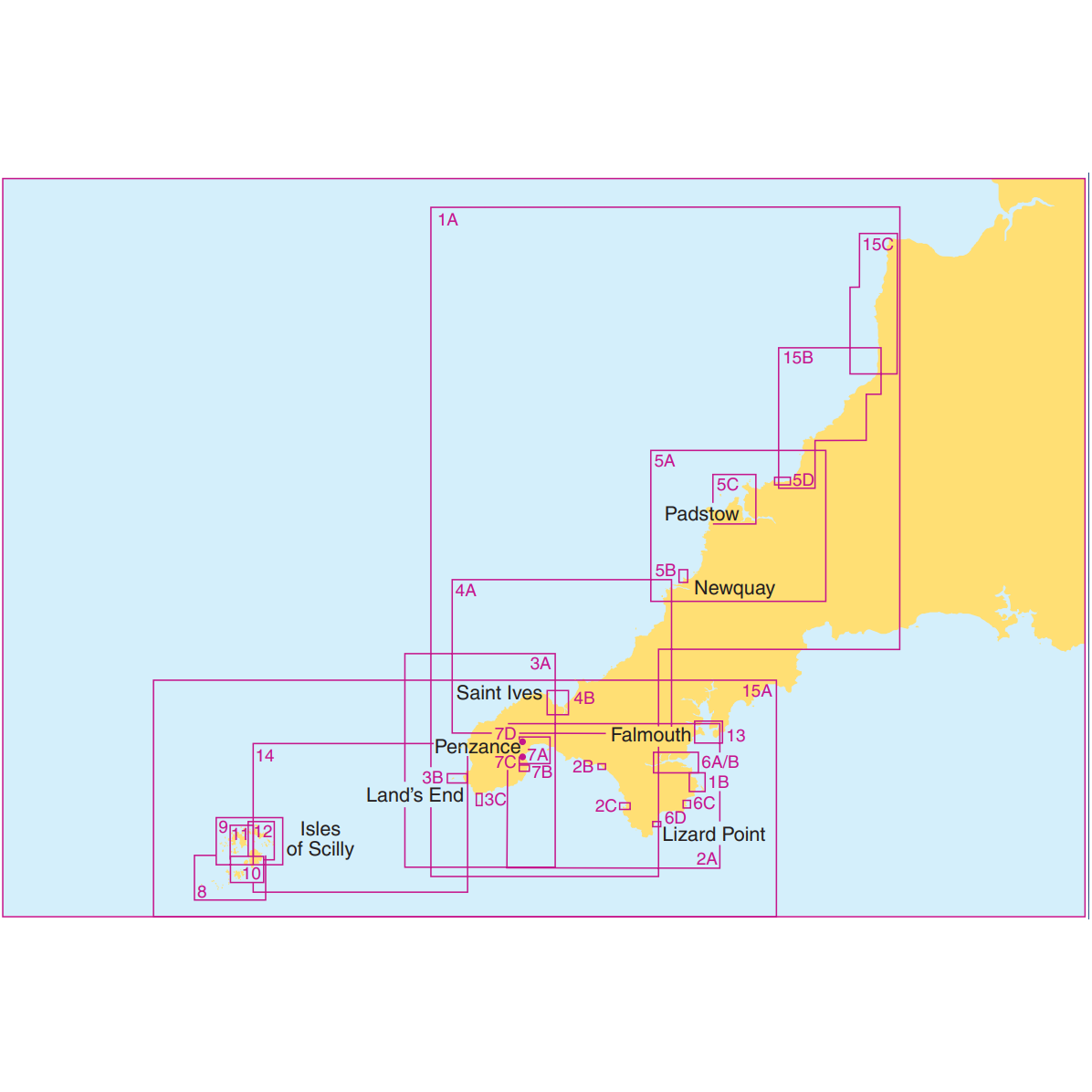
This comprehensive folio includes all 15 Admiralty Small Craft Charts for the South West Peninsula, from Falmouth to Hartland Point, including the Isles of Scilly. It provides you with detailed and up-to-date navigational information for this stunning and challenging cruising ground.
Save time and money with this complete folio – the 75% discount for orders of 15+ charts is already applied!
If you'd like to add additional single charts to your order of this folio you're best getting in touch with us first to make sure you receive the correct discount. Alternatively, ignore this folio and add all the individual charts to your cart for the discount to apply automatically, but that's a lot of clicking!
We check all orders to make sure that discounts are applied correctly.
About Admiralty Small Craft Charts
Admiralty Small Craft Charts are specialist charts produced by the UKHO specifically designed for recreational sailors and small commercial vessels. These charts provide detailed coverage of popular cruising areas, harbours, and coastal waters at scales ideal for inshore navigation. Each chart combines the accuracy and reliability of official UKHO data with additional information essential for small craft navigation, including tidal stream data, port facilities, and local navigation notes. MCA approved and fully compliant with Maritime and Coastguard Agency requirements for coded vessels and fishing vessels under 24m LOA.
Key Features of Small Craft Charts
- Convenient A2 Format: Easy to handle, store, and use on board smaller vessels - printed on demand with all corrections applied.
- Comprehensive Supporting Data: Essential details including chart notes, Coastguard services, distress and safety communication info, tidal stream (diamond) tables, secondary port differences, and tidal curves.
- Enhanced Detail for Confident Navigation: Larger scale coverage of popular cruising areas with crisp, detailed cartography for spotting hazards, charting courses, and making better decisions at sea.
- Multiple Scales Included: This folio provides a range of scales from passage planning charts to detailed harbour plans for comprehensive area coverage.
Important Notes
If you haven't used Admiralty Small Craft or Leisure charts since 2022, here's what's changed:
- Paper Size: The printed area is A2 (594 x 420 mm), but the actual sheet is slightly larger (715 x 535 mm), leaving you a 12.1 cm border on the long edge and an 11.5 cm border on the short edge. This is the current UKHO standard - the chart may require trimming based on how you expect to store it.
- No More Folio Covers: These charts are no longer supplied with plastic wallets.
- Supporting Data: Now in PDF format. Once your order ships we'll show you where to find the latest version.
- Returns: These charts are printed to order and correct at the time of printing, so we can't accept returns except where required by law. If you're unsure which charts you need, get in touch — we're happy to advise.
Shipping and Handling
- Printed to Order: Please note that Admiralty charts are not off-the-shelf items. Each one is printed on demand by an official UKHO Print-on-Demand distributor and prepared individually, a process that involves printing, trimming, quality checking, official stamping, and applying a chart number label to the back of the chart. Please check for messages regarding current handling times during the ordering process.
- Urgent Orders: If you are in a hurry, please get in touch with us directly and we will do our very best to accommodate your needs.
- Packaging: Your charts will be shipped rolled in a sturdy cardboard tube. Charts are produced to professional navigation standards where minor creasing, if it occurs, does not affect navigational use. If shipped with Royal Mail we use a standard round tube. If shipped with DPD we use a long rectangular box which carries a slightly higher risk of creasing. Minor creasing can usually be flattened easily with a few hours under some heavy books.
- Why SailorShop: Real expertise with hassle-free ordering. We know our charts, we know sailing, and we're here to help. Just get in touch.
Charts Included
Where A, B, C etc. are listed, they indicate plans on the same chart.
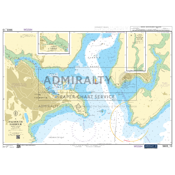
Please note: Chart 5603_13 (Falmouth Harbour) has been withdrawn by the UKHO. This folio includes the duplicate chart 5602_5 to ensure continued coverage of the Falmouth area.
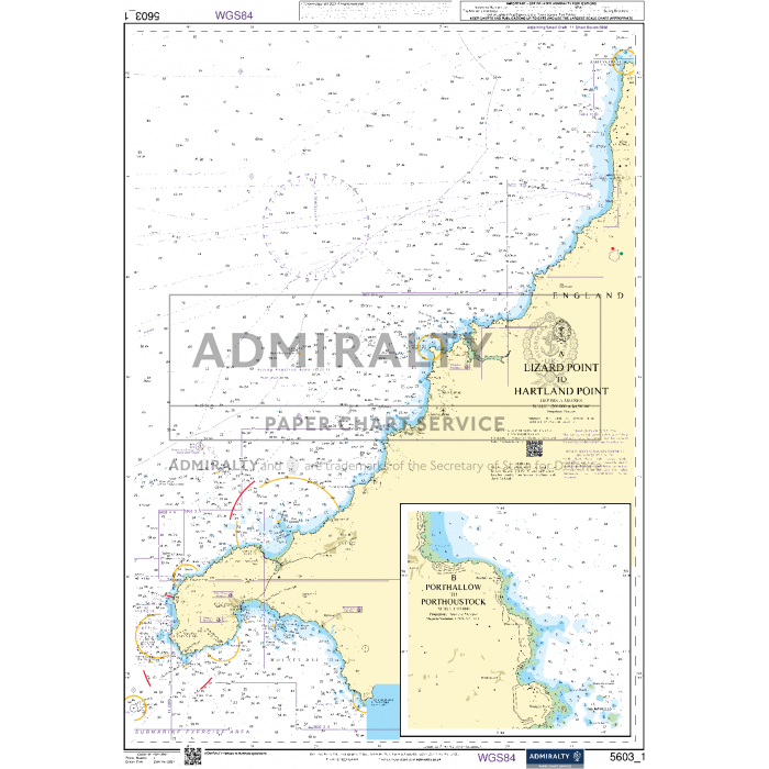
- 1 A – Lizard Point to Hartland Point (1:200,000)
- 1 B – Porthallow to Porthoustock (1:15,000)
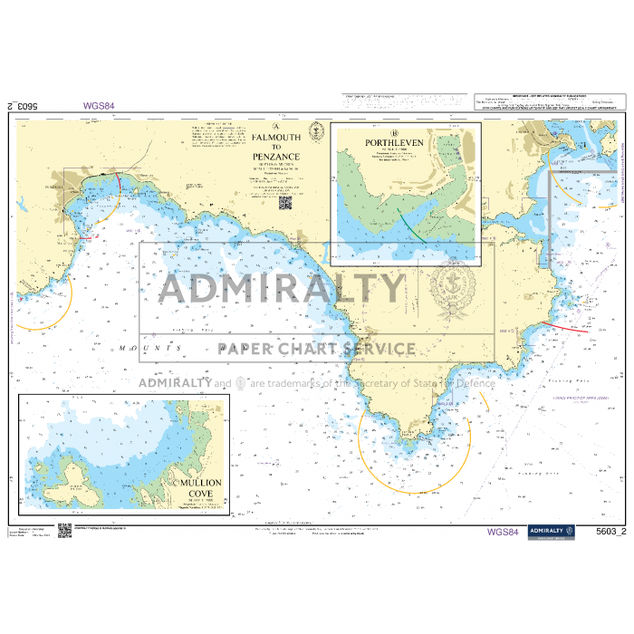
- 2 A – Falmouth to Penzance (1:75,000)
- 2 B – Porthleven (1:5,000)
- 2 C – Mullion Cove (1:5,000)
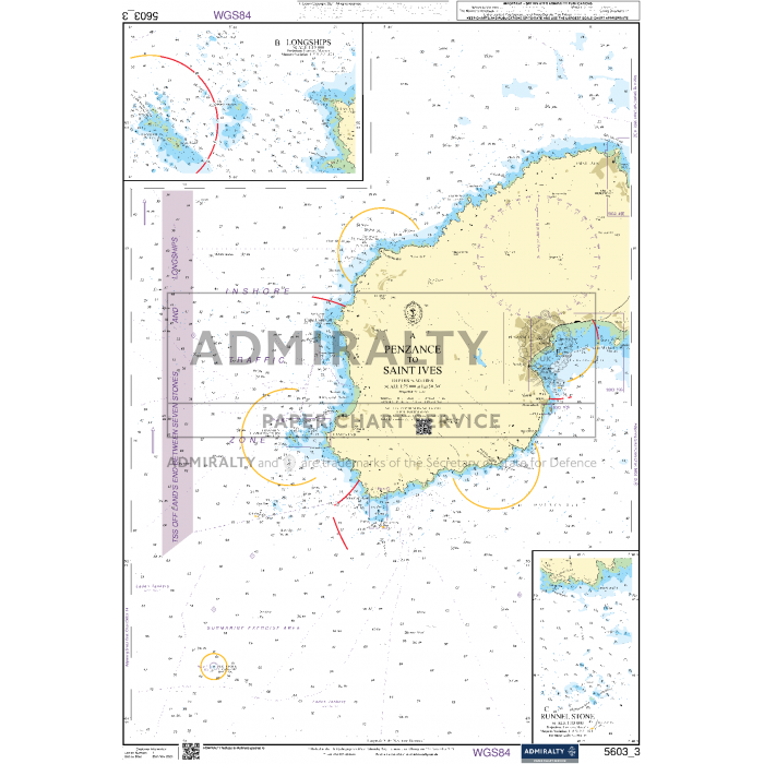
- 3 A – Penzance to Saint Ives (1:75,000)
- 3 B – Longships (1:15,000)
- 3 C – Runnel Stone (1:15,000)
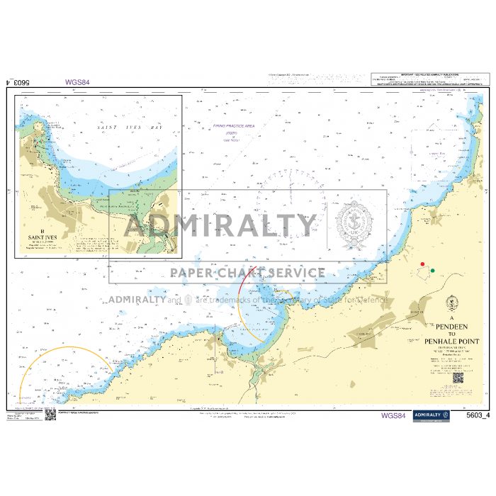
- 4 A – Pendeen to Penhale Point (1:75,000)
- 4 B – Saint Ives (1:25,000)
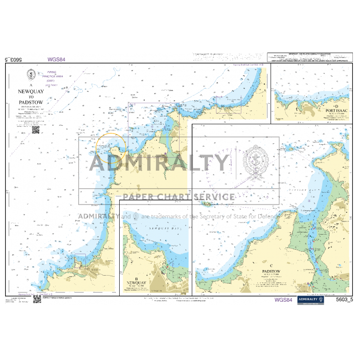
- 5 A – Newquay to Padstow (1:75,000)
- 5 B – Newquay (1:12,500)
- 5 C – Padstow (1:25,000)
- 5 D – Port Isaac (1:25,000)
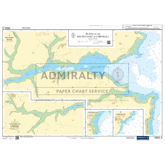
- 6 – Plans on the South Coast of Cornwall
- 6 A – Helford River (1:12,500)
- 6 B – Helford River - Continuation to Gweek (1:12,500)
- 6 C – Coverack (1:15,000)
- 6 D – Cadgwith (1:15,000)
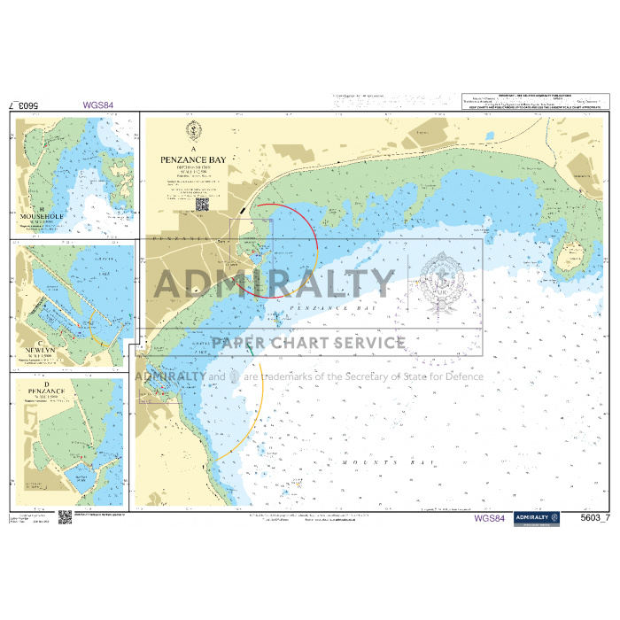
- 7 A – Penzance Bay (1:12,500)
- 7 B – Mousehole (1:5,000)
- 7 C – Newlyn (1:5,000)
- 7 D – Penzance (1:5,000)
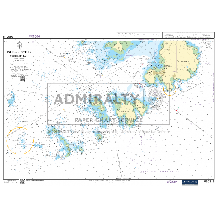
- 8 – Isles of Scilly - Southern Part (1:25,000)
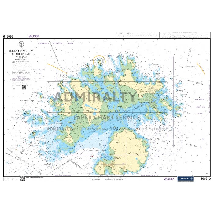
- 9 – Isles of Scilly - Northern Part (1:25,000)
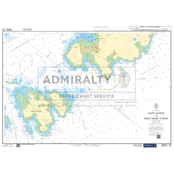
- 10 – Isles of Scilly - Saint Agnes to Saint Mary’s Pool (1:12,500)
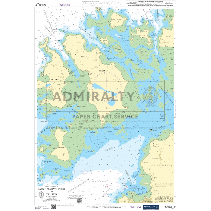
- 11 – Isles of Scilly - Saint Mary’s Pool to Tresco (1:12,500)
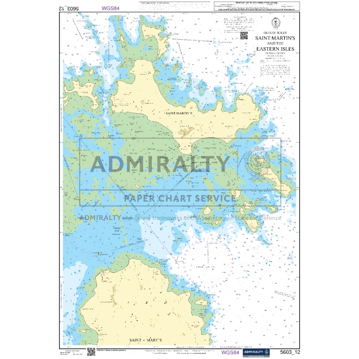
- 12 – Isles of Scilly - Saint Martin’s & the Eastern Isles (1:12,500)
- 13 A – Falmouth Harbour (1:12,500)
- 13 B – Upper Reaches of the Percuil River (1:12,500)
- 13 C – Penryn Harbour (1:12,500)
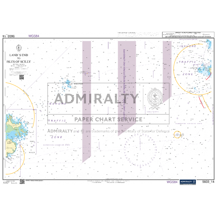
- 14 – Land’s End to Isles of Scilly (1:75,000)
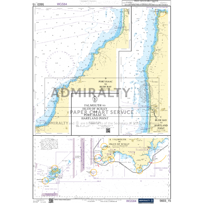
- 15 – Falmouth to Isles of Scilly & Port Isaac to Hartland Point
- 15 A – Falmouth to Isles of Scilly (1:325,000)
- 15 B – Port Isaac to Bude Bay (1:75,000)
- 15 C – Bude Bay to Hartland Point (1:75,000)
-
TypeCoastal, Approach, Harbour
-
HarboursSt Mary's, Tresco, Porthleven, Mullion Cove, St Ives, Newquay, Padstow, Port Isaac, Coverack, Cadgwith, Helford, Penzance, Newlyn, Mousehole, Falmouth
-
AreaWest Country, Cornwall, Isles of Scilly
-
Sea AreaEnglish Channel, Celtic Sea
-
CountryUnited Kingdom, England
-
Format
-
Size
Payment & Security
Payment methods
Your payment information is processed securely. We do not store credit card details nor have access to your credit card information.

