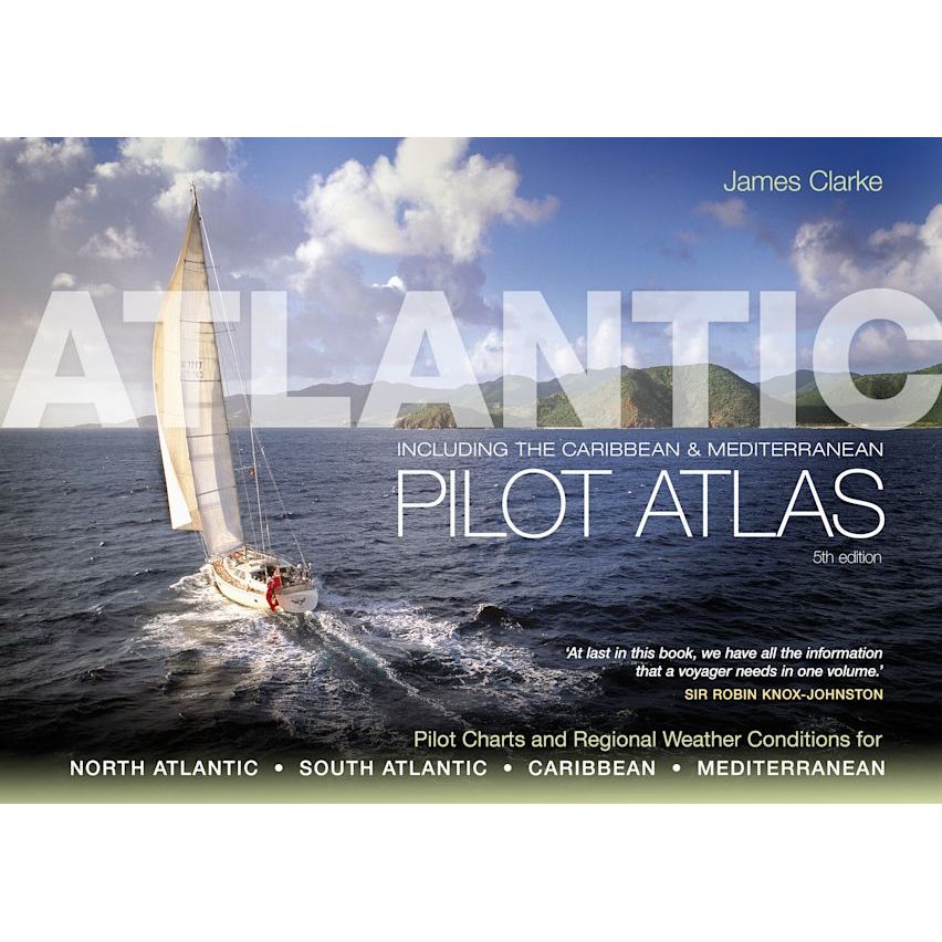
Atlantic Pilot Atlas
| Author: | James Clarke |
|---|---|
| Edition: | 2011 |
| Format: | Spiral-bound |
| Size: | 297 x 420 mm |
| Note: | This title is now out of print. If there is no stock available please get in touch. We'd be happy to try to source a copy from our network. |
Atlantic Pilot Atlas is backordered and will ship as soon as it is back in stock.
Couldn't load pickup availability
Delivery Information
Delivery Information
We aim to dispatch all orders by the next business day, but we're a small business and sometimes when it's busy it may take a little bit longer. If there's going to be any delays we'll get in touch and keep you up-to-date.
Shipping is free for all orders of £50 or more!
We work with Royal Mail, DPD and DHL to offer the most convenient delivery options to our customers.
Friendly Advice
Friendly Advice
Chris is a Master Mariner and knows a thing or two about seafaring. If you need any help then don't be shy - send us an email or get in touch using the WhatsApp icon.
Easy Returns
Easy Returns
Not what you were looking for? No problem. We can accept returns of items in as-sold condition for up to 30 days (maybe a bit longer but don't tell anyone).
Just let us know and we'll sort everything out, including the shipping cost back to us.
Unfortunately this doesn't apply to Print on Demand charts as they are correct at the time of printing.
Of course if there's any faults or damage then let us know and we'll make it right!
A Complete Atlas for Atlantic Sailors
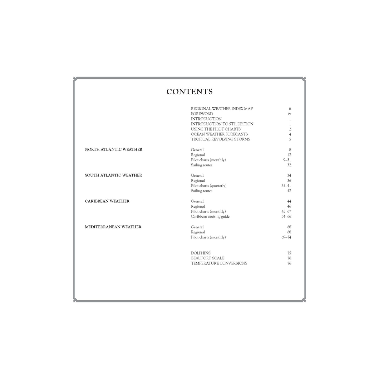
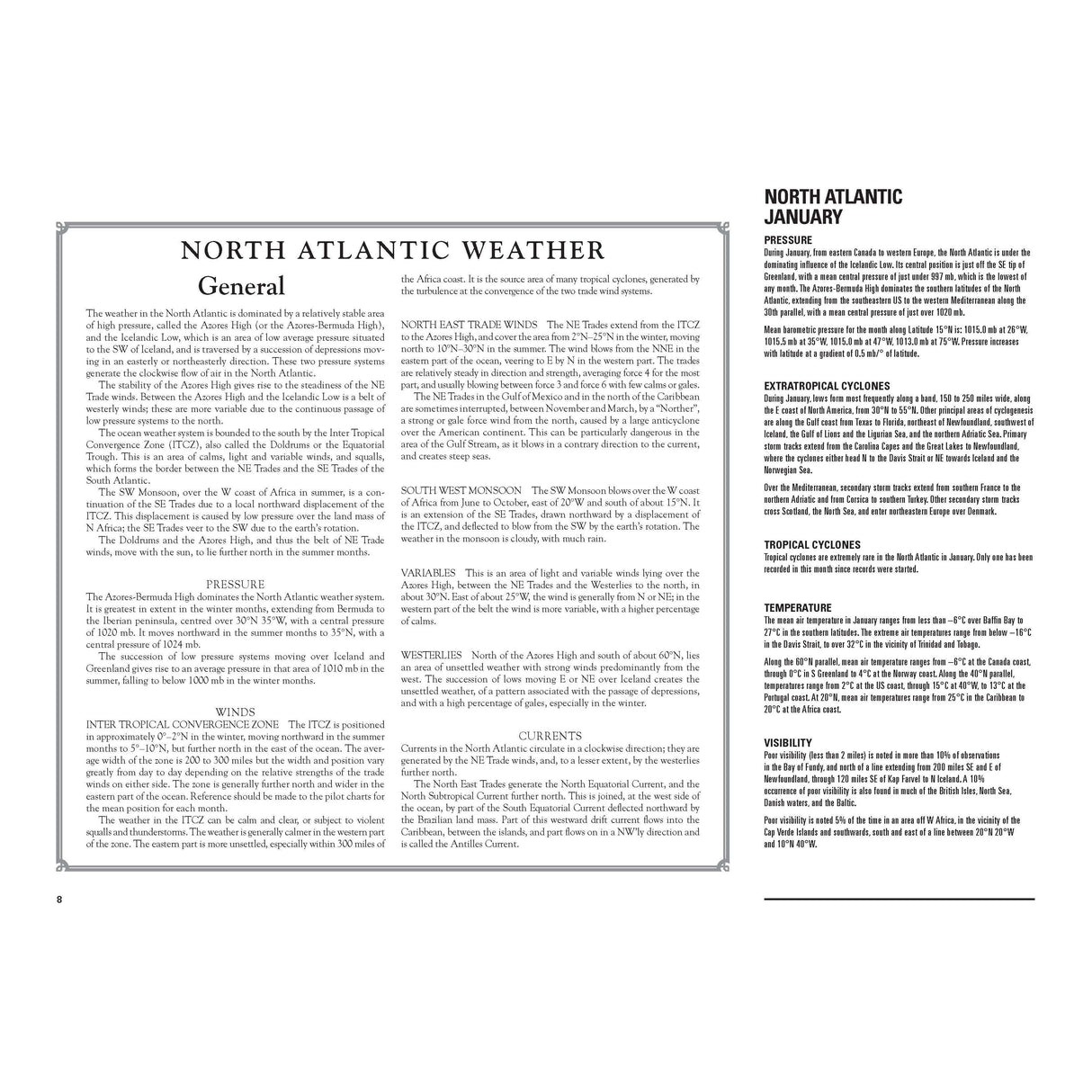
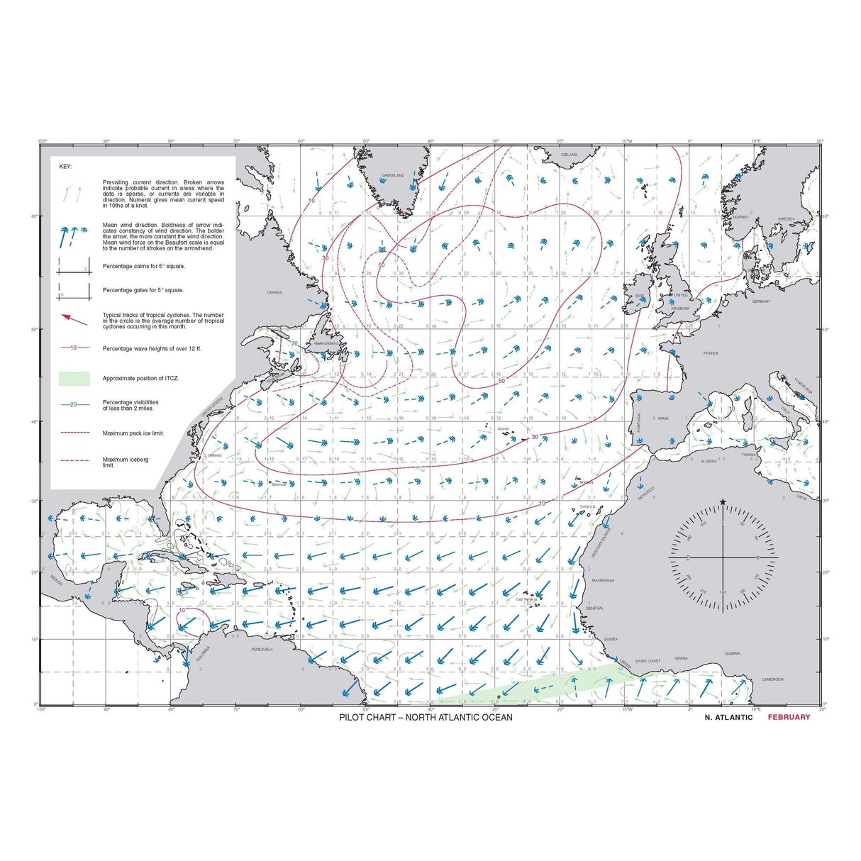
Atlantic Pilot Atlas provides a complete guide to the weather of the North and South Atlantic, the Mediterranean, and the Caribbean.
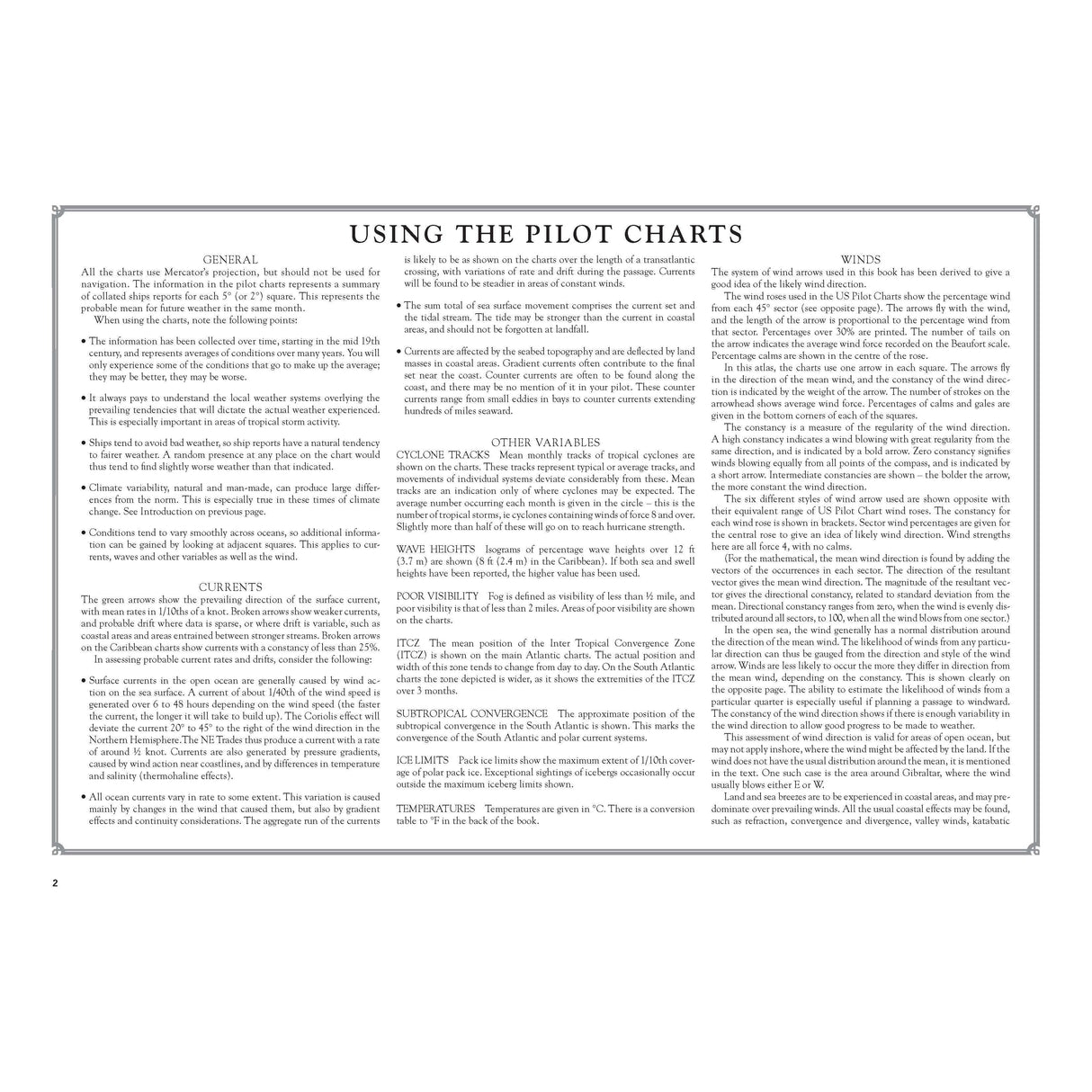
Now revised for the fifth edition, it includes weather forecasting, global warming, and hurricane avoidance information, as well as wind and current charts, wave heights, tropical cyclone tracks, and shipping routes. Any skipper contemplating an ocean crossing needs to know what conditions they are likely to meet en route in order to plan a safe and comfortable passage, and this book provides exactly what is needed.
40 specially drawn colour charts show detailed information on the winds, currents, gale frequencies, rough sea conditions, hurricane tracks, and recommended sailing routes for each month of the year for all these oceans.
About the Author
James Clarke is an Ocean Yachtmaster Instructor. During his circumnavigation, he recognised the need for an easily accessible routing guide that contained everything sailors would need to know to sail the Atlantic, Caribbean, and Mediterranean at any time of the year. Atlantic Pilot Atlas is the result of his painstaking work to compile such a reference.
Praise for Atlantic Pilot Atlas
“This is what every yachtsman contemplating an extended cruise needs in one book... No serious offshore bookshelf should be without one.”
– Yachting Monthly
“Without doubt the most useful guide for anyone planning a Transatlantic voyage.”
– Ships & Ports
-
AuthorJames Clarke
-
Edition
-
Format
-
Size
-
Pages
-
ISBN
Payment & Security
Payment methods
Your payment information is processed securely. We do not store credit card details nor do we have access to your credit card information.

