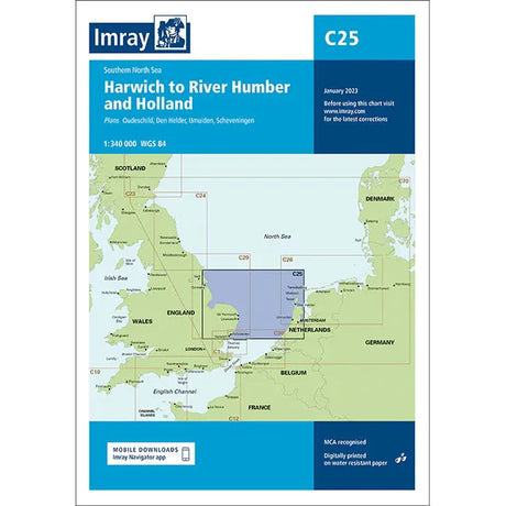
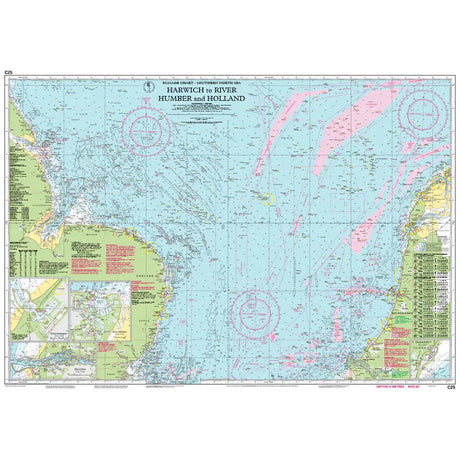
Admiralty Small Craft Charts - 5606 - Thames Estuary, Ramsgate to Canvey
£1620Unit price /UnavailableAdmiralty Small Craft Charts - 5607 - Thames Estuary, Essex and Suffolk
£1620Unit price /UnavailableAdmiralty Small Craft Charts - 5614 - East Coast, Orford Ness to Whitby
£1620Unit price /UnavailableAdmiralty Small Craft Charts - 5615 - East Coast, Whitby to Edinburgh
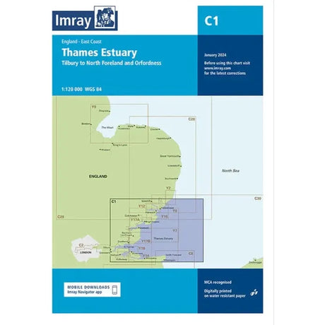
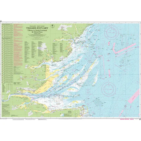
£1620Unit price /UnavailableImray Chart C1: Thames Estuary
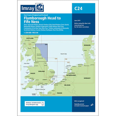
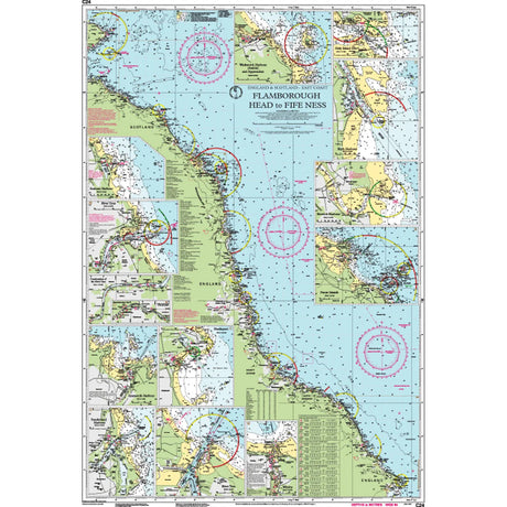
£2895Unit price /UnavailableImray Chart C24: Flamborough Head to Fife Ness
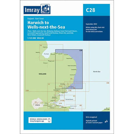
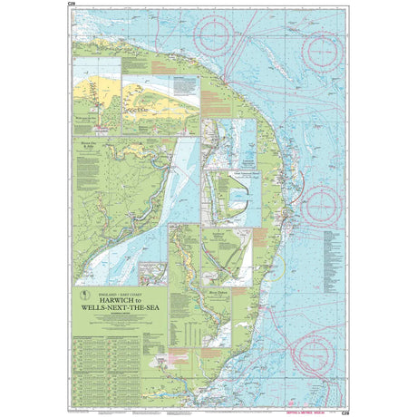
£2895Unit price /UnavailableImray Chart C28: Harwich to Wells-next-the-Sea
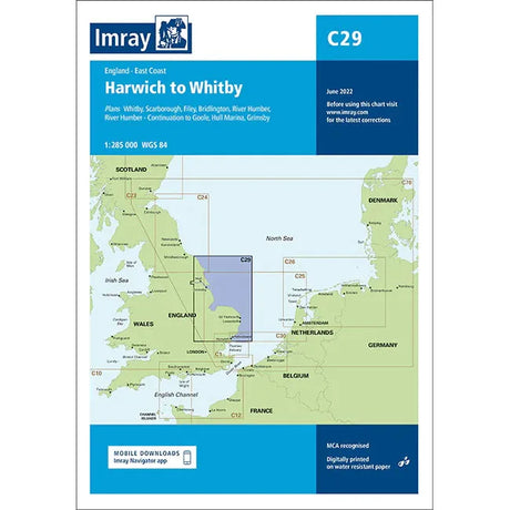
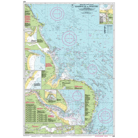
£2895Unit price /UnavailableImray Chart C29: Harwich to Whitby
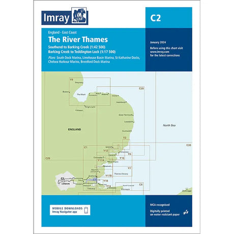
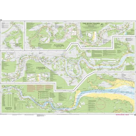
£2895Unit price /UnavailableImray Chart C2: The River Thames
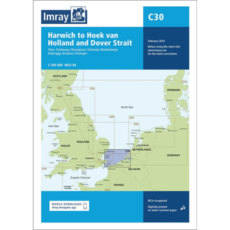
£2895Unit price /UnavailableImray Chart C30: Harwich to Hoek van Holland and Dover Strait
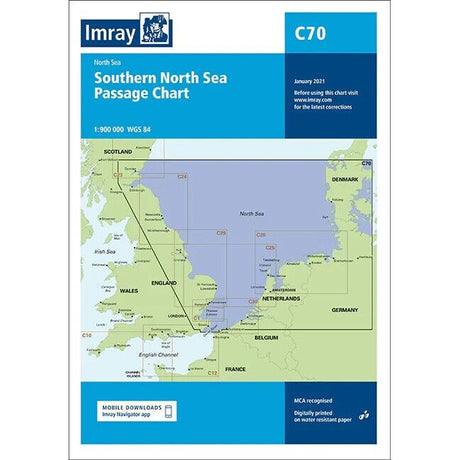
£2895Unit price /UnavailableImray Chart C70: Southern North Sea Passage Chart
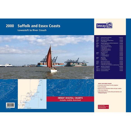
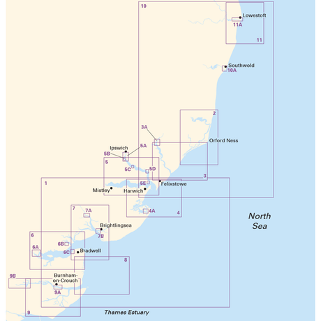
£2895Unit price /UnavailableImray Chart Pack 2000: Suffolk and Essex Coasts
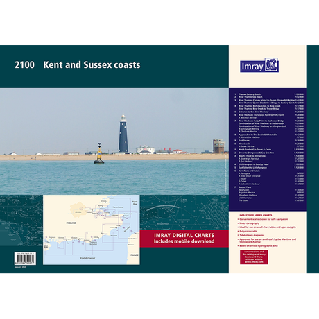
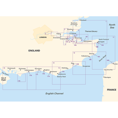
£5995Unit price /UnavailableImray Chart Pack 2100: Kent and Sussex Coasts
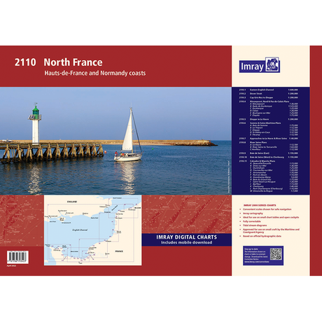
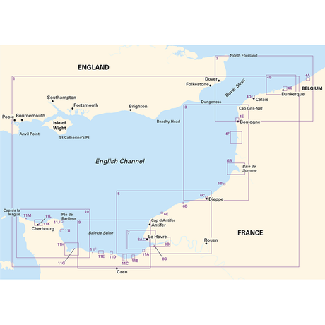
£5995Unit price /UnavailableImray Chart Pack 2110: North France
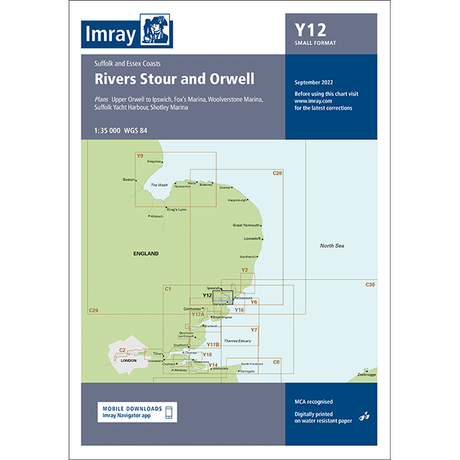
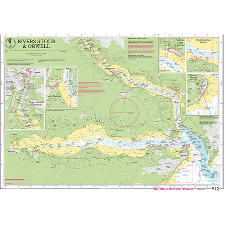
£5995Unit price /UnavailableImray Chart Y12: Rivers Stour and Orwell (Small Format)
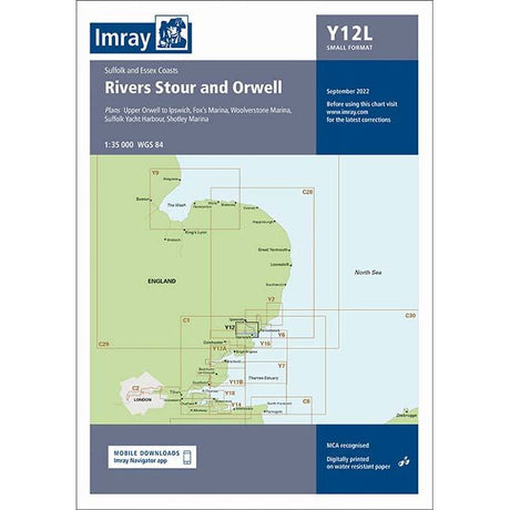
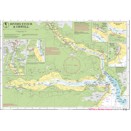
£1695Unit price /UnavailableImray Chart Y12L: Rivers Stour and Orwell (Laminated)
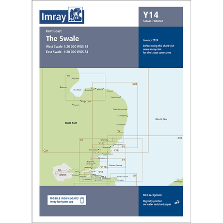
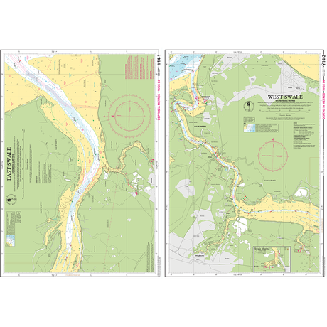
£2395Unit price /UnavailableImray Chart Y14: The Swale (Small Format)
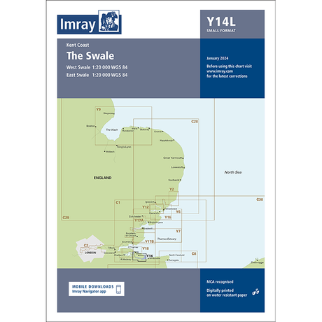
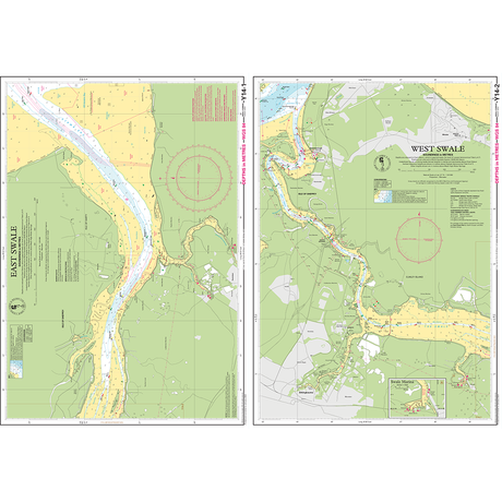
£1695Unit price /UnavailableImray Chart Y14L: The Swale (Laminated)
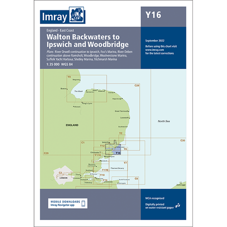
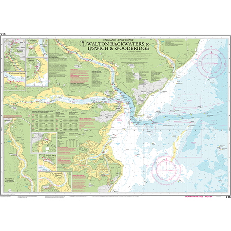
£2395Unit price /UnavailableImray Chart Y16: Walton Backwaters to Ipswich and Woodbridge
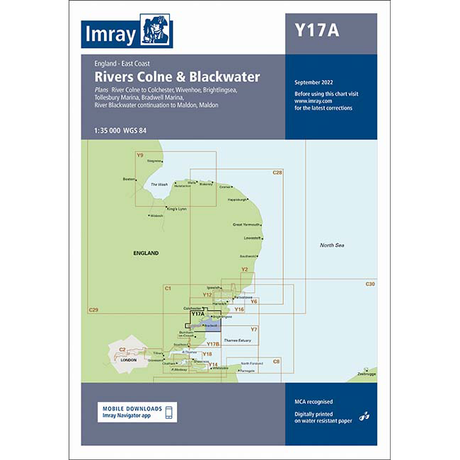
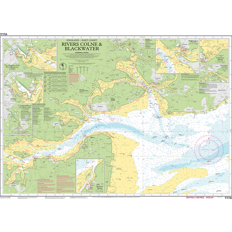
£2350Unit price /UnavailableImray Chart Y17A: The Rivers Colne and Blackwater
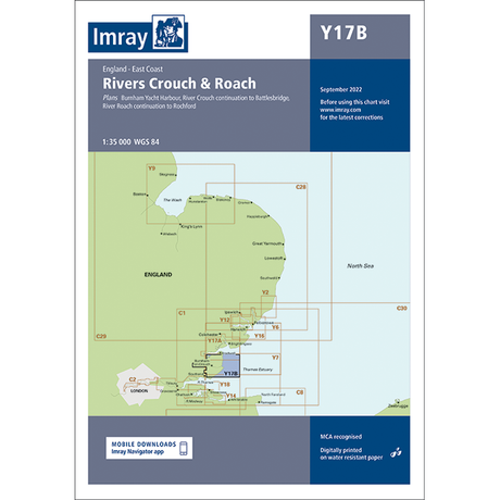
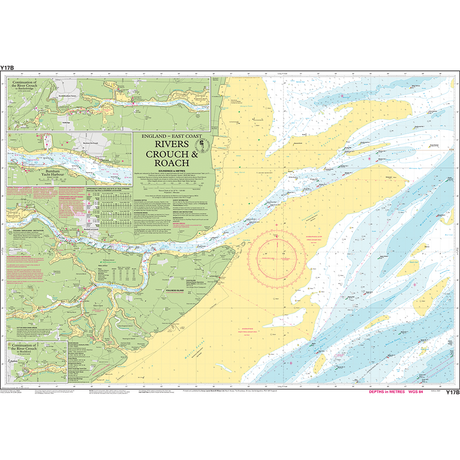
£2350Unit price /UnavailableImray Chart Y17B: The Rivers Crouch and Roach
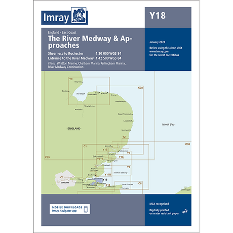
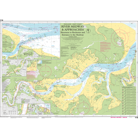
£2350Unit price /UnavailableImray Chart Y18: The River Medway and Approaches
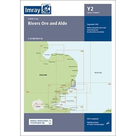
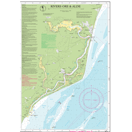
£2350Unit price /UnavailableImray Chart Y2: Rivers Ore and Alde (Small Format)
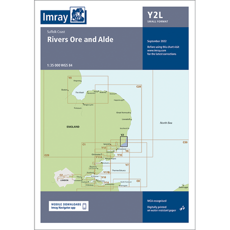
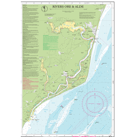
£1695Unit price /UnavailableImray Chart Y2L: Rivers Ore and Alde (Laminated)
£2395Unit price /UnavailableImray Chart Y6: Foulness Point to Harwich (Small Format)
£1795Unit price /UnavailableImray Chart Y6L: Foulness Point to Harwich (Laminated)
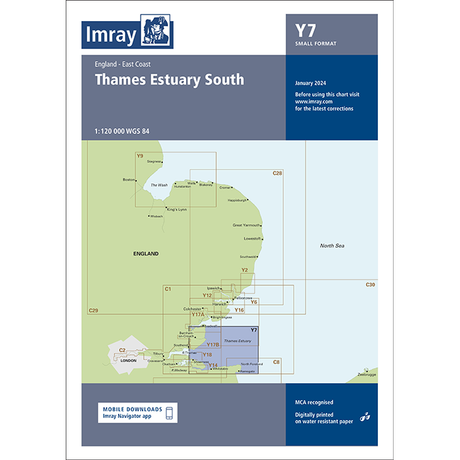
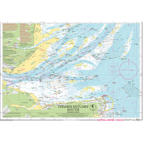
£2395Unit price /UnavailableImray Chart Y7: Thames Estuary South (Small Format)
£1795Unit price /UnavailableImray Chart Y7L: Thames Estuary South (Laminated)
£2395Unit price /Unavailable- £2350Unit price /Unavailable


