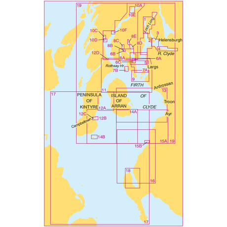
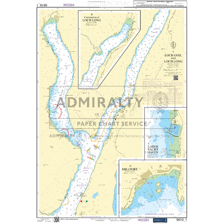
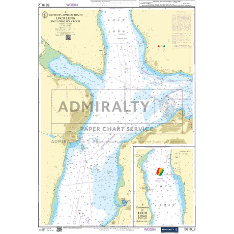
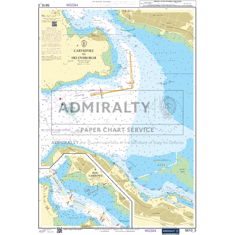
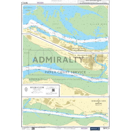
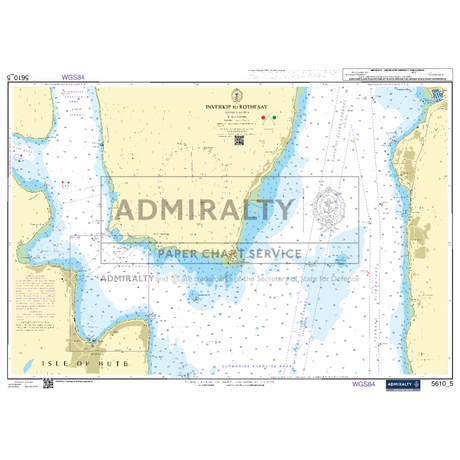
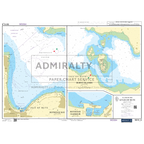
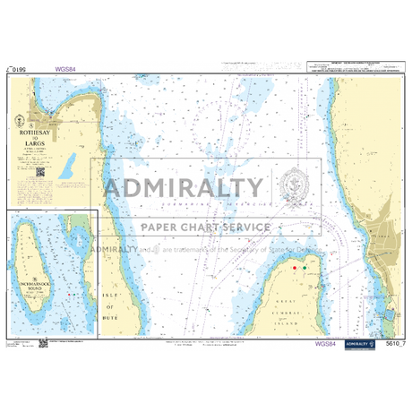
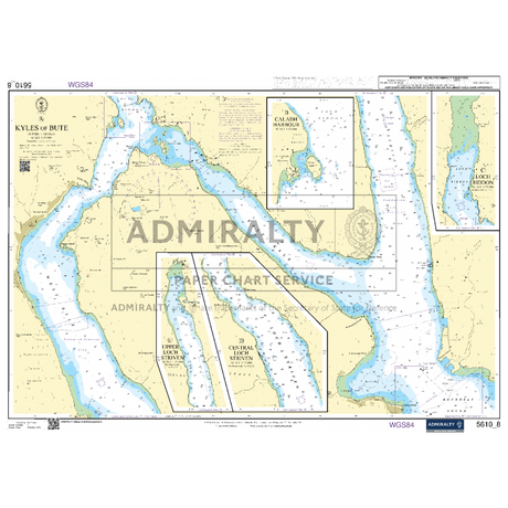
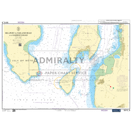
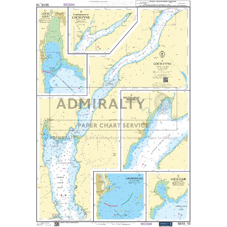
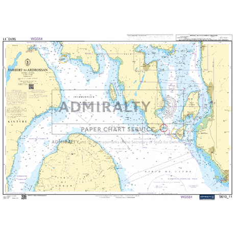
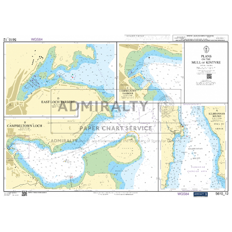
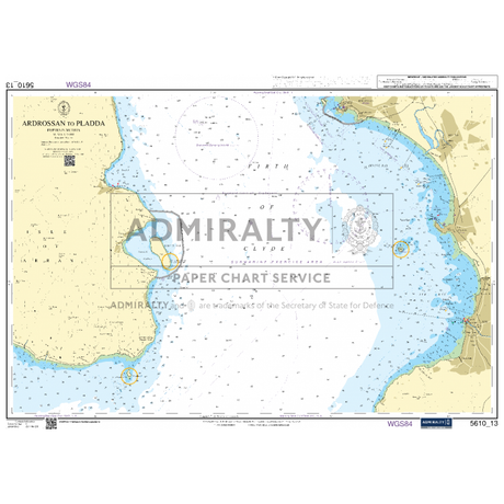
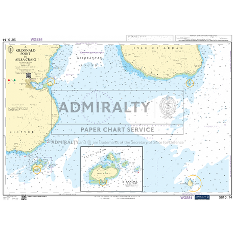
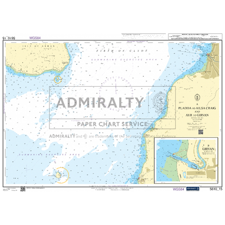
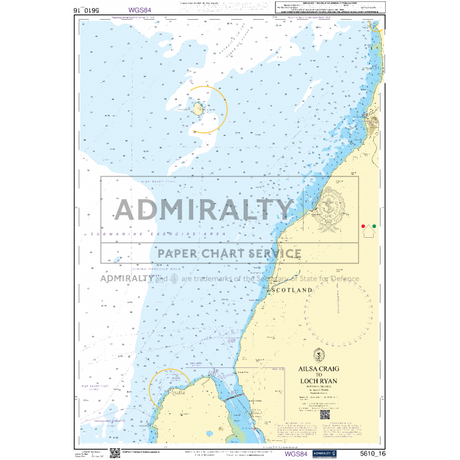
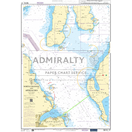
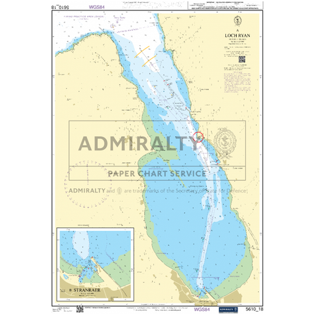
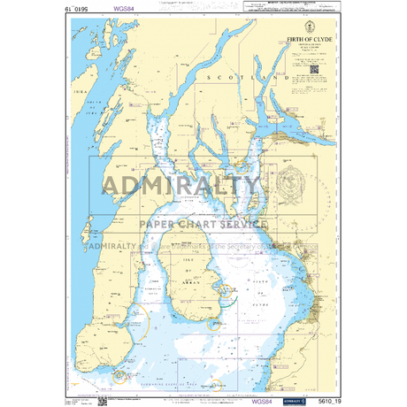
Admiralty Small Craft Charts - 5610 - The Firth of Clyde
£1620Unit price /UnavailableAdmiralty Small Craft Charts - 5611 - West Coast of Scotland
£1620Unit price /UnavailableAdmiralty Small Craft Charts - 5615 - East Coast, Whitby to Edinburgh
£1620Unit price /UnavailableAdmiralty Small Craft Charts - 5616 - West Coast of Scotland and Outer Hebrides
£1620Unit price /UnavailableAdmiralty Small Craft Charts - 5617 - East Coast of Scotland
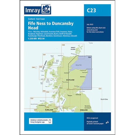
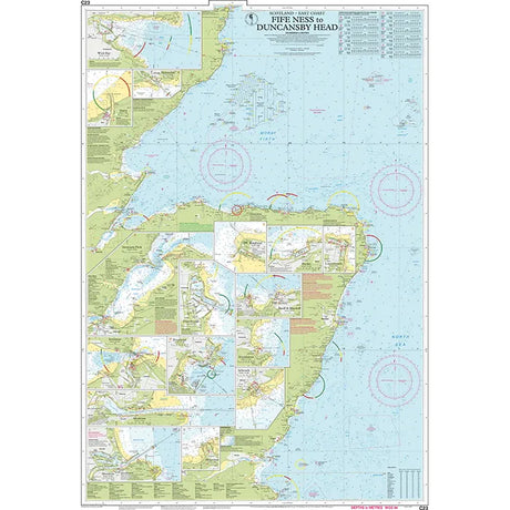
£1620Unit price /UnavailableImray Chart C23: Fife Ness to Duncansby Head
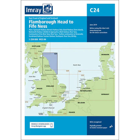
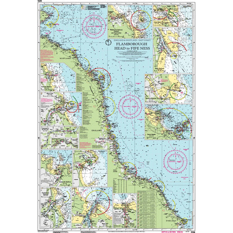
£2895Unit price /UnavailableImray Chart C24: Flamborough Head to Fife Ness
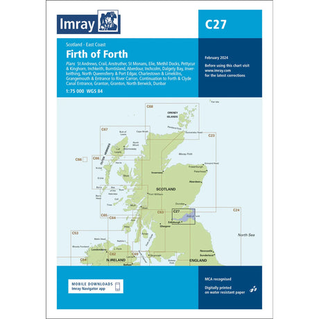
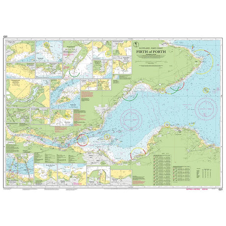
£2895Unit price /UnavailableImray Chart C27: Firth of Forth
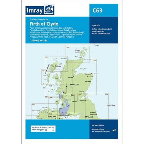
£2895Unit price /UnavailableImray Chart C63: Firth of Clyde
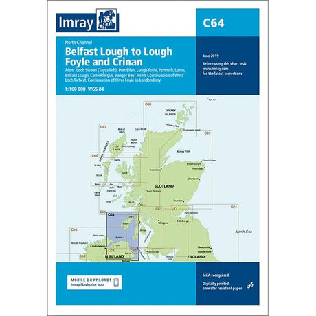
£2895Unit price /UnavailableImray Chart C64: Belfast Lough to Lough Foyle and Crinan
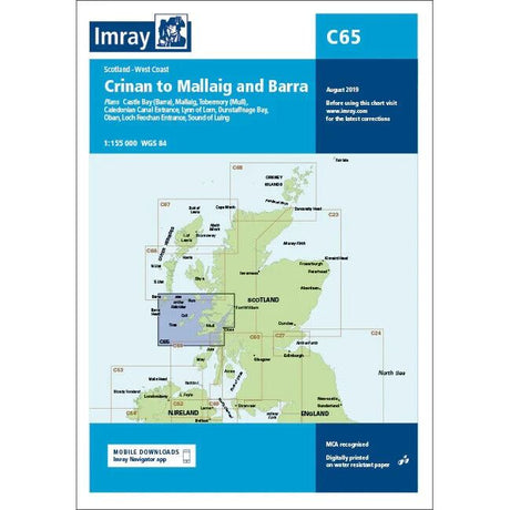
£2895Unit price /UnavailableImray Chart C65: Crinan to Mallaig and Barra
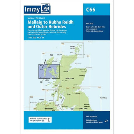
£2895Unit price /UnavailableImray Chart C66: Mallaig to Rudha Reidh and Outer Hebrides
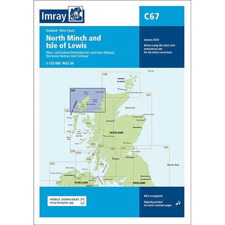
£2895Unit price /UnavailableImray Chart C67: North Minch and Isle of Lewis
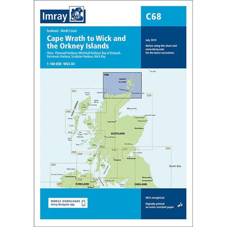
£2895Unit price /UnavailableImray Chart C68: Cape Wrath to Wick and the Orkney Islands
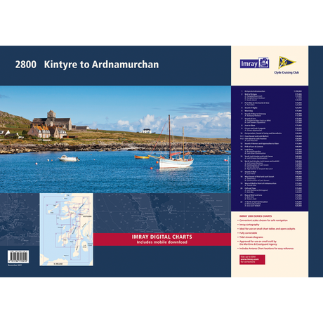
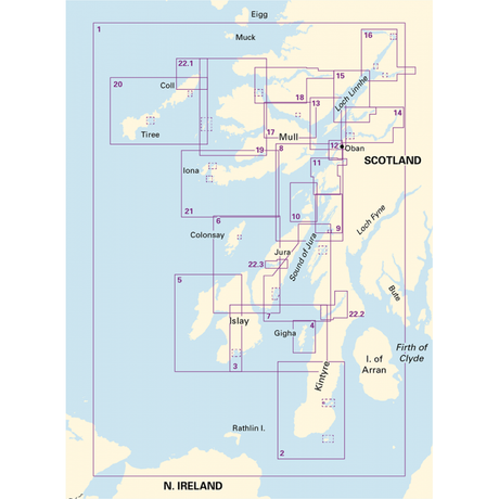
£2895Unit price /UnavailableImray Chart Pack 2800: Kintyre to Ardnamurchan
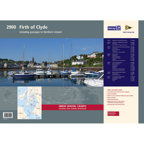
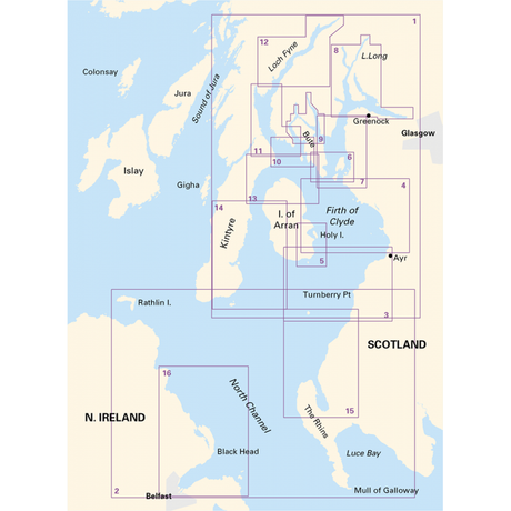
£5995Unit price /UnavailableImray Chart Pack 2900: Firth of Clyde including passages to Northern Ireland
£5995Unit price /UnavailableImray Chart Y80: Sound of Gigha (Small Format)
£1795Unit price /UnavailableImray Chart Y81: Corryvreckan, Sound of Luing and Garvellachs (Small Format)
£1795Unit price /UnavailableImray Chart Y82: Loch Melfort to Loch Feochan (Small Format)
£1795Unit price /UnavailableImray Chart Y83: Sound of Kerrera and Approaches to Oban (Small Format)
£1795Unit price /UnavailableImray Chart Y84: Firth of Lorn and Lismore (Small Format)
£1795Unit price /UnavailableImray Chart Y85: South Loch Linnhe and Loch Creran (Small Format)
£1795Unit price /UnavailableImray Chart Y86: Sound of Mull (Small Format)
£1795Unit price /UnavailableImray Chart Y87: West Sound of Mull and Loch Sunart (Small Format)
£1795Unit price /Unavailable

